

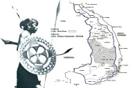
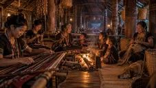
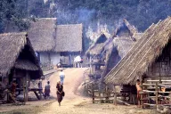













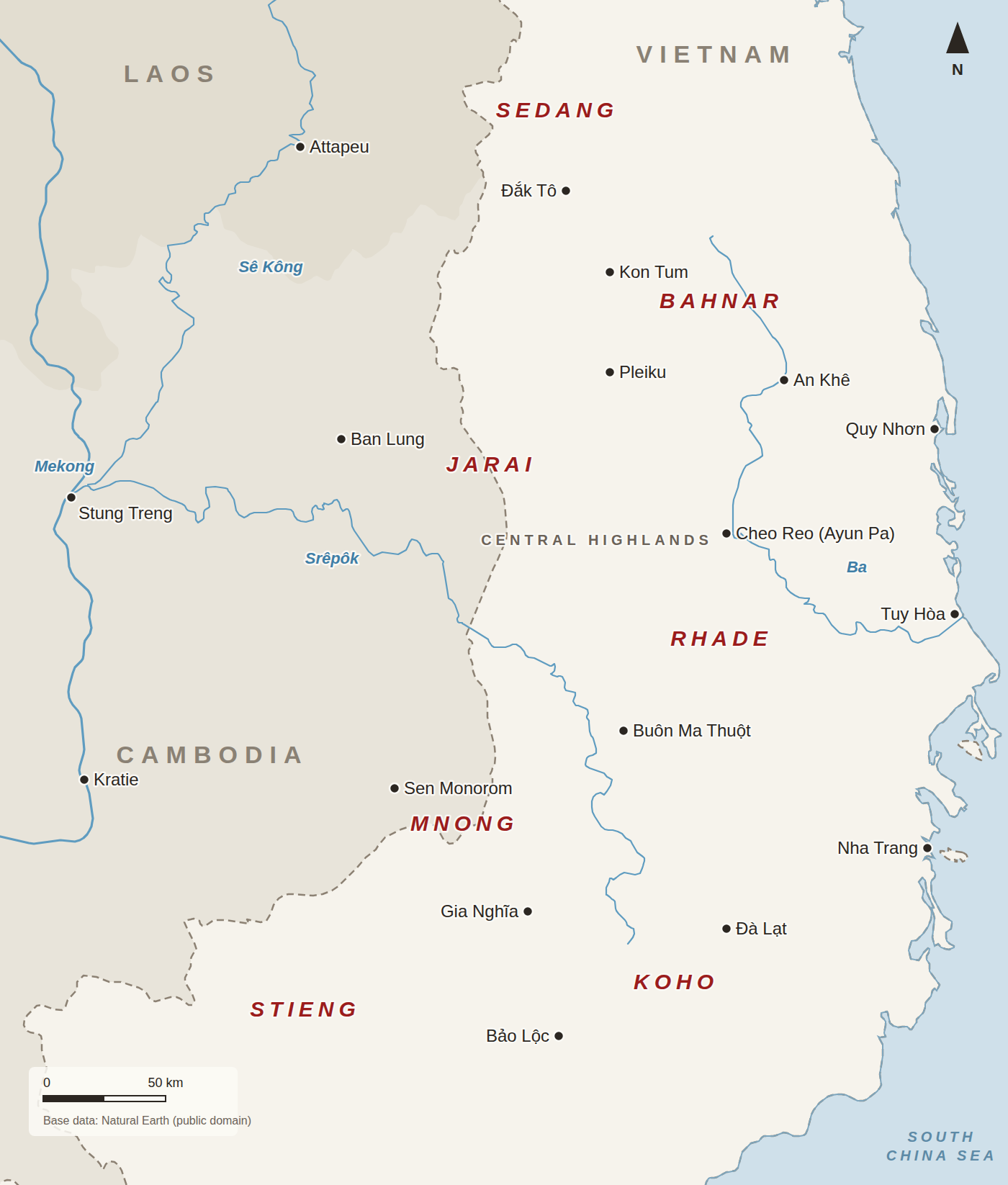
Our country is the high plateau between the Annamite mountains and the Mekong, in what Vietnam now calls the Central Highlands and across the borders in Cambodia and Laos. This map shows the main towns and rivers and, roughly, where the larger Dega peoples live.
Reading the map
- The dashed line is the international border. Vietnam is the lightest area; Cambodia and Laos are shaded.
- The names in red are peoples, placed where each is concentrated. The Jarai and Mnong live on both sides of the Cambodian border; see Kin across the border.
- The smaller peoples, among them the Hre, Halang, Chru, Raglai and many more, are not labeled. See Dega tribes and languages and The smaller peoples.
- Rivers are drawn from generalized world data and the smaller ones are left out, including the Sê San, on which the Yali and Lower Sesan 2 dams were built.
Places on the map
| Place | What it is to us | |
|---|---|---|
| Kon Tum | Seat of the Catholic mission from the nineteenth century; Bahnar and Sedang country | Read more |
| Pleiku | Jarai country; a major American and South Vietnamese base in the war | Read more |
| Buôn Ma Thuột | Rhade country; Sabatier’s capital of Darlac, and a center of the protests of 2001 and 2004 | Read more |
| Cheo Reo (Ayun Pa) | Jarai country on the Ba river; home of Nay Luett | Read more |
| Đà Lạt | The French hill station, in Koho country | Read more |
| Ban Lung and Sen Monorom | Towns of Ratanakiri and Mondulkiri, in Cambodia, where Jarai and Mnong also live and where refugees crossed | Read more |
Names on older maps
Maps and documents from before 1975 use names that have since changed. Darlac is today’s Đắk Lắk and Ban Me Thuot is Buôn Ma Thuột; Kontum is Kon Tum. Vietnam redrew its provinces several times after 1975, and again in July 2025, when it cut their number from 63 to 34 and merged the highland provinces with their neighbors, so present-day addresses may carry different province names. We use the older names on this site, because those are the names in the records.
Sources
- Base data: Natural Earth, 1:10m countries and rivers (public domain)
- Gerald C. Hickey, The Major Ethnic Groups of the South Vietnamese Highlands, RAND RM-4041 (1964) — text copy — the locations of the peoples
- Department of the Army, Minority Groups in the Republic of Vietnam, Pamphlet 550-105 (1966)
- The Vietnamese Magazine, “Việt Nam 2025: redrawing the administrative map at breakneck speed,” January 2026 — the 2025 merger
Compiled September 2026. We would welcome a more detailed map of villages and old place names, drawn with elders.