





















Knowledgebase
Viewing articles tagged 'lam dong'
Viewing articles tagged 'lam dong'
4 articles
The land, and what was planted on it
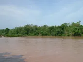
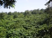
Vietnam went from a marginal coffee producer to the second largest in the world in about fifteen years, on the red basalt of the Central Highlands. The story of how that happened and the story of what happened to us are the same story told from two ends. Forest cover in our highlands fell from 42.8 percent in 1990 to 19 percent in 2020, and most...
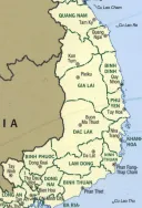
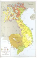
A map of the highlands
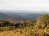
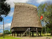
Our country is the high plateau between the Annamite mountains and the Mekong, in what Vietnam now calls the Central Highlands and across the borders in Cambodia and Laos. This page gives the map, and then the country behind it: the mountains and the red basalt plateaus, the rivers that run east to the sea and west to the Mekong, the rains, wher...
Bauxite: the plateau as a mine
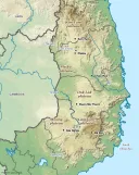
Under the coffee is the ore. Most of Vietnam’s bauxite lies under the Central Highlands, in the red laterite of Dak Nong and Lam Dong. In 2007 the government planned twenty-five mines and seven alumina plants there. Two plants were built, at Tan Rai and Nhan Co, and in 2026 the state and its partners were planning to double them and to add more....
The Koho, Maa, Churu and Raglai
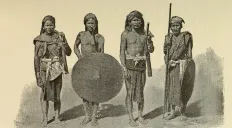
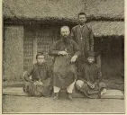
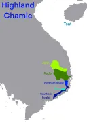
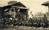
Four peoples hold the southern end of our country, from the Lang Biang plateau around Da Lat down to the hills behind the old Cham coast. Two of them, the Koho and the Ma, speak Mon-Khmer languages and are close kin. Two of them, the Churu and the Raglai, speak languages almost identical with Cham. The Koho and the Ma are easy to run together, a...
Powered by WBAMS