





















Knowledgebase
Viewing articles tagged 'srepok'
Viewing articles tagged 'srepok'
3 articles
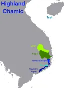
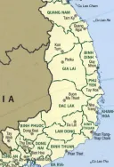
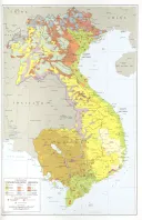
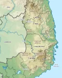
A map of the highlands
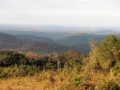
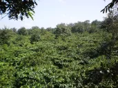
Our country is the high plateau between the Annamite mountains and the Mekong, in what Vietnam now calls the Central Highlands and across the borders in Cambodia and Laos. This page gives the map, and then the country behind it: the mountains and the red basalt plateaus, the rivers that run east to the sea and west to the Mekong, the rains, wher...
The dams: Yali Falls and the rivers
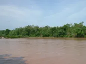
The Se San and the Srepok run west out of our highlands into Cambodia and the Mekong. From 1993 they were dammed. At Yali Falls alone 6,782 people were moved, three in five of them Jarai, Rongao and Bahnar, into standard houses with no kitchen, onto land that was promised and never arrived. Downstream, in Ratanakiri, people drowned in releases f...
Lower Sesan 2: the dam downstream
The Se San and the Srepok carry the water of our highlands into Cambodia, where the same peoples live on both banks. In 2017 the gates closed on Lower Sesan 2, a dam just below the rivers’ meeting in Stung Treng. It flooded some 30,000 hectares and displaced nearly 5,000 people, most of them Bunong, Brao, Lao, Jarai and their neighbors; more tha...
Powered by WBAMS