














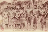




























The four towns of the highlands that the world knows — Buôn Ma Thuột, Pleiku, Kon Tum and Đà Lạt — all carry highland names, and all grew up on highland land as posts of someone else’s government. This page gives each one’s name, its origin, and the few dates that matter.
Buôn Ma Thuột
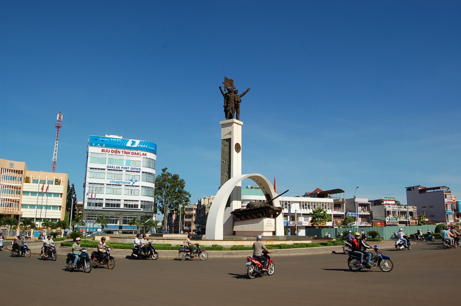

- Name
- Rhade: buôn is “village,” and the town is named for a village headman, Ama Y Thuột — “the father of Y Thuột.” Written “Ban Me Thuot” in French and American sources.
- People
- Rhade country, with Mnong and Jarai to the south, west and north.
- Key dates
- Made capital of the new province of Darlac by the French in 1904; the province was dissolved in 1913 and re-established in 1923, with Buôn Ma Thuột again its capital. Here the French résident Léopold Sabatier ran his highland administration (see Sabatier and the Rhade code). The attack on the town on March 10, 1975, opened the offensive that ended the Republic of Vietnam (see 1975). Made a city in 1995.
- Now
- Reorganized into wards in July 2025, but still the seat of Đắk Lắk, now merged with Phú Yên, and the center of the coffee trade. See Land taken for coffee.
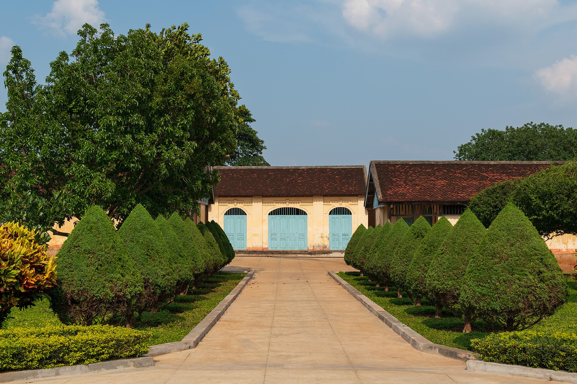

Pleiku

- Name
- Jarai: from Plơi Kơdưr, usually translated “the upper village.” Plơi is “village,” as in many Jarai place names.
- People
- Jarai country, with Bahnar to the north and east.
- Key dates
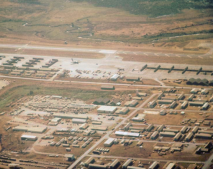
- First appears in the French decree creating the province in 1905. In June 1954, at the end of their war, French forces falling back on Pleiku were destroyed at the Mang Yang pass. The attack on the nearby US base at Camp Holloway in February 1965 was one of the events used to justify sending American combat troops. In March 1975 the South Vietnamese army abandoned Pleiku and Kon Tum and retreated down Route 7B; the column was destroyed, and many thousands of soldiers and civilians, highlanders among them, died or were lost.
- Population
- A 1971 count gave the town as 87.5 percent Kinh and 12.5 percent Jarai and Bahnar. On July 1, 2025, when Vietnam abolished its district-level cities and merged its provinces, Pleiku was reorganized into wards; the enlarged Gia Lai province, merged with Bình Định, is governed from Quy Nhơn.
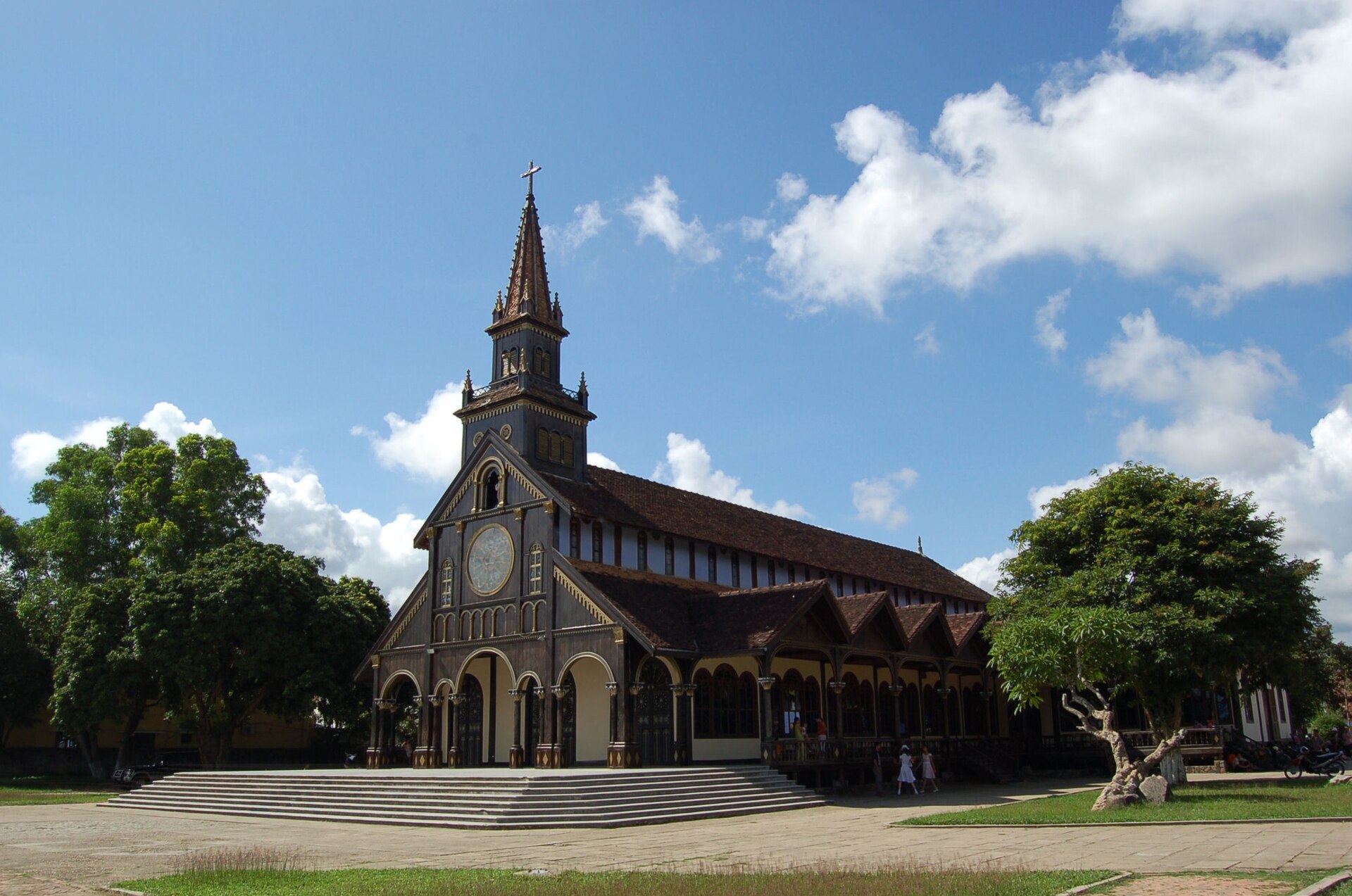
Kon Tum

- Name
- Bahnar: kon is “village” and tum “lake” — “the village by the lake.”
- People
- Bahnar, with Sedang, Jeh and Halang to the north.
- Key dates
- French Catholic missionaries reached the area in the 1840s and set up their mission by 1851 (see The Kontum mission). The colonial administration set up an agency there in 1893, first run by a missionary, Father Vialleton. In 1888 the adventurer Mayréna declared his short-lived kingdom from among the Sedang to the north (see The kingdom of the Sedang). In 1972 Kon Tum was the objective of the North Vietnamese Easter offensive in the highlands (see Battles on our land).
- Now
- Capital of Kon Tum province until July 2025, when the province was merged into Quảng Ngãi and the town reorganized into wards.
Đà Lạt

- Name
- Usually explained as from the language of the Lat, a Koho people: đạ “water” or “stream,” “of the Lat.” The mountain above it, Lang Biang, carries a Koho love story in its name.
- People
- Koho (K’Ho) country, including the Lat and Chil.
- Key dates
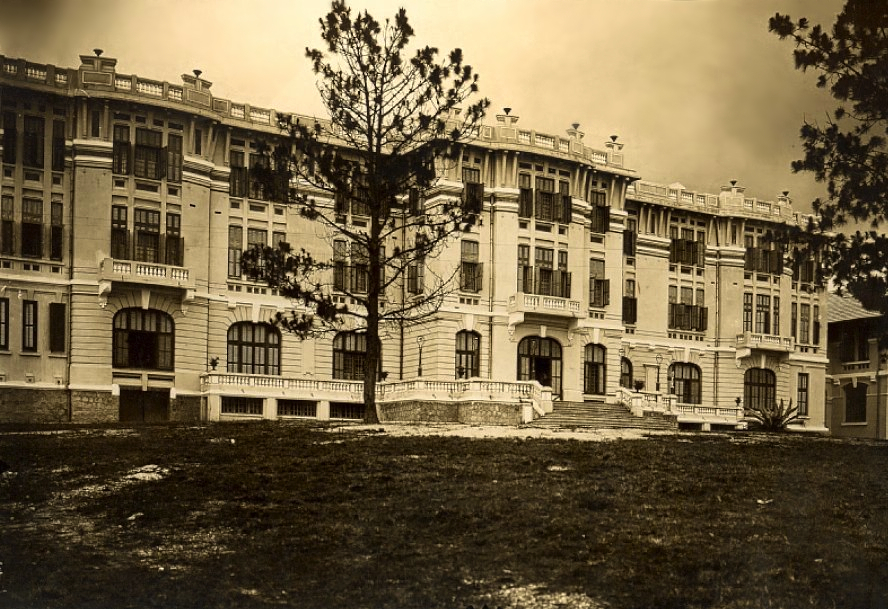
- Alexandre Yersin reached the Lâm Viên plateau in 1893 and proposed it as a hill station. The first hotel was built in 1907; the town was formally founded in 1916; the railway station was finished in 1938. It became the summer capital of the colonial government and later a resort for Saigon.
- Now
- About a quarter of a million people before the 2025 reorganization into wards; still the seat of Lâm Đồng, now merged with Đắk Nông and Bình Thuận. We have not found a reliable current figure for its Koho population.
A pattern
All four towns began as a highland village, a mission or a colonial post, and all four are now majority Kinh. The names are the last thing in them that is still ours. See Names and words.
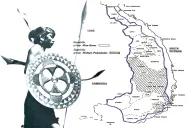
See also: A map of the highlands.
Sources
- Wikipedia, “Buôn Ma Thuột,” “Pleiku,” “Kon Tum” and “Da Lat,” used as pointers to the published literature
- Gerald C. Hickey, Sons of the Mountains (Yale University Press, 1982)
- Oscar Salemink, The Ethnography of Vietnam’s Central Highlanders (RoutledgeCurzon, 2003)
Compiled September 2026. The meanings of place names are as usually given; if your elders explain a name differently, please tell us.