

























Our country is the high plateau between the Annamite mountains and the Mekong, in what Vietnam now calls the Central Highlands and across the borders in Cambodia and Laos. This page gives the map, and then the country behind it: the mountains and the red basalt plateaus, the rivers that run east to the sea and west to the Mekong, the rains, where the larger peoples live, the names that every government in turn has written on the map, and the provinces as they were redrawn in July 2025.
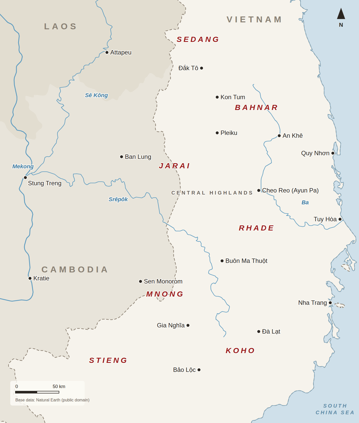
Reading the map
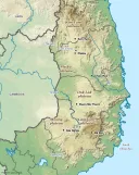
- The dashed line is the international border. Vietnam is the lightest area; Cambodia and Laos are shaded.
- The names in red are peoples, placed where each is concentrated. The Jarai and Mnong live on both sides of the Cambodian border; see Kin across the border.
- The smaller peoples, among them the Hre, Halang, Chru, Raglai and many more, are not labeled. See Dega tribes and languages and The smaller peoples.
- Rivers are drawn from generalized world data and the smaller ones are left out, including the Sê San, on which the Yali and Lower Sesan 2 dams were built.
The mountains and the plateaus
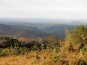
The Annamite chain runs some seven hundred miles down the spine of Indochina, forming the border between Vietnam and Laos and the watershed between the Mekong and the South China Sea. Its eastern slopes fall steeply to a narrow coastal plain; to the west it opens into the high plateaus that are our country. Its highest peak is Ngọc Linh, which the old French maps call the Massif du Ngoc Ang, rising to 2,598 meters above the country of the Sedang, the Cua and the Hre.
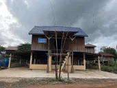
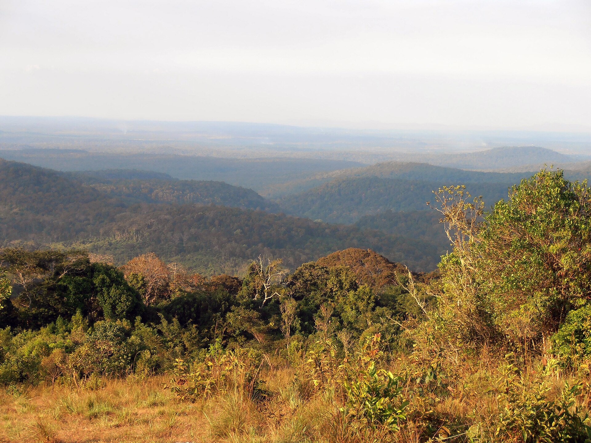
The plateaus were made by lava. Basalt flows spread over the old crystalline rock of the chain from several centers: around Da Lat between about thirteen and eight million years ago, around Pleiku and Buon Ma Thuot in the last six million years. The basalt weathers into a deep, soft, red earth, the soil that the French planters wanted for rubber, the Diệm government wanted for its land development centers and the present government has wanted for coffee. North of Pleiku stand extinct volcanoes, some with lakes in their craters; Biển Hồ, T’Nưng to the Jarai, is the best known. See The country itself.
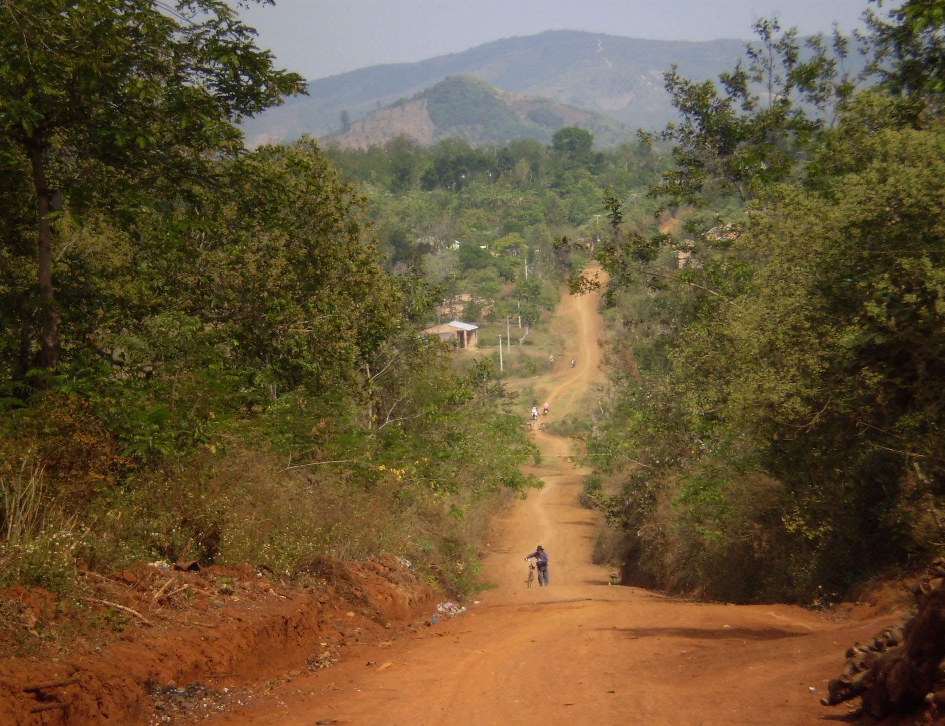

The American handbooks of the 1960s divided the highlands in two. The northern part is the great plateau that runs from around Ban Me Thuot some 175 miles north toward Ngọc Linh, the Darlac, Pleiku and Kon Tum plateaus of later maps; the handbooks give its height variously as 600 to 1,600 feet and 1,000 to 2,500 feet, and the towns stand at around 1,750 feet. The southern part, much of it over 3,000 feet, is the Lang Bian and Di Linh country of the Koho and the Ma, overlooked by the Lang Bian mountains; the army’s handbook of 1967 gives their height as 7,380 feet, its handbook of 1966 as about 6,000. Da Lat, the French hill station, stands on a lake in the middle of it at 4,920 feet.
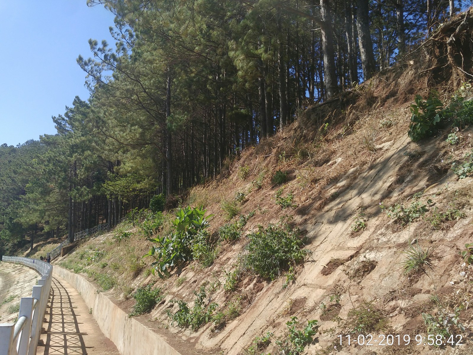

The rivers
The highlands drain both ways. To the east, the Ba gathers the waters of the Bahnar and eastern Jarai country, among them the Ayun, and cuts through the mountains to the sea. To the west, everything goes to the Mekong. The Bla, which passes Kon Tum, and the Poko, joined by smaller streams in the Sedang and Rengao country, form the Sê San, which flows west into Cambodia. The Srepok, called the Krong where it comes down from the mountains, crosses the marshy basin around Lak lake, south of Buon Ma Thuot, passes the elephant country of Ban Don and flows west into Cambodia too. The two rivers, with the Sekong from Laos, join at Stung Treng before they reach the Mekong; together these three rivers carry about a fifth of all the water that passes Stung Treng, and nearly a third in the dry season. To the south, the Đồng Nai runs from the southern plateaus toward Saigon.
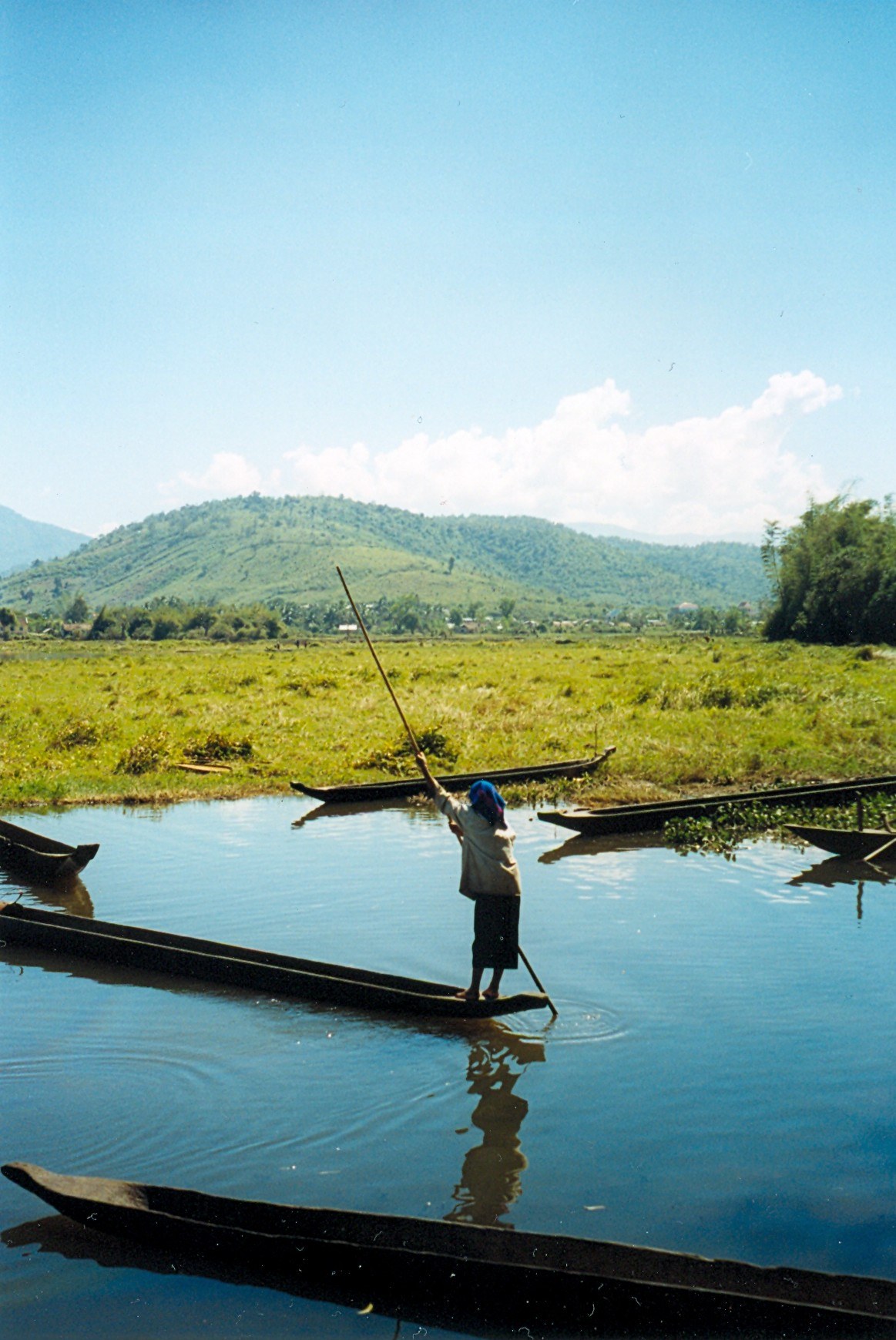

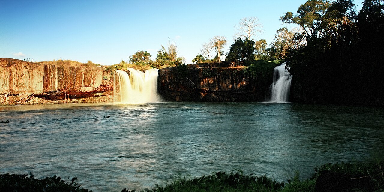

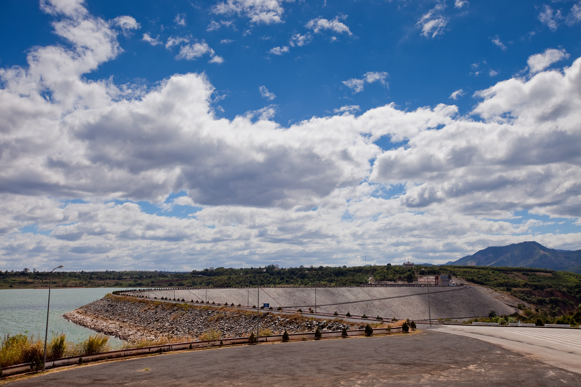
The rivers have been dammed, and the people downstream have paid for it. Work on the Yali Falls dam on the Sê San began in November 1993; the first unusual floods reached the villages downstream in 1996, before the dam was finished, and in 1999 the losses to 3,434 households in Ratanakiri alone came to 2.5 million dollars. The Lower Sesan 2 dam in Cambodia began operating in 2018. See The dams and Lower Sesan 2.
.jpg)


The rains
The monsoon decides the year. The southwest monsoon brings the rains from about May to October, heaviest in July and August; the northeast monsoon of the winter months brings the dry season to the plateau. The plateaus receive between 50 and 150 inches of rain a year. In the dry season, from November to March, the grass turns brown and many trees drop their leaves. The high country is cooler than the coast, by as much as fifteen degrees in winter. In the rains the paths flooded, and before the roads the best way to travel was by elephant. The rice year is told on The rice year.
Where the peoples live
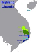
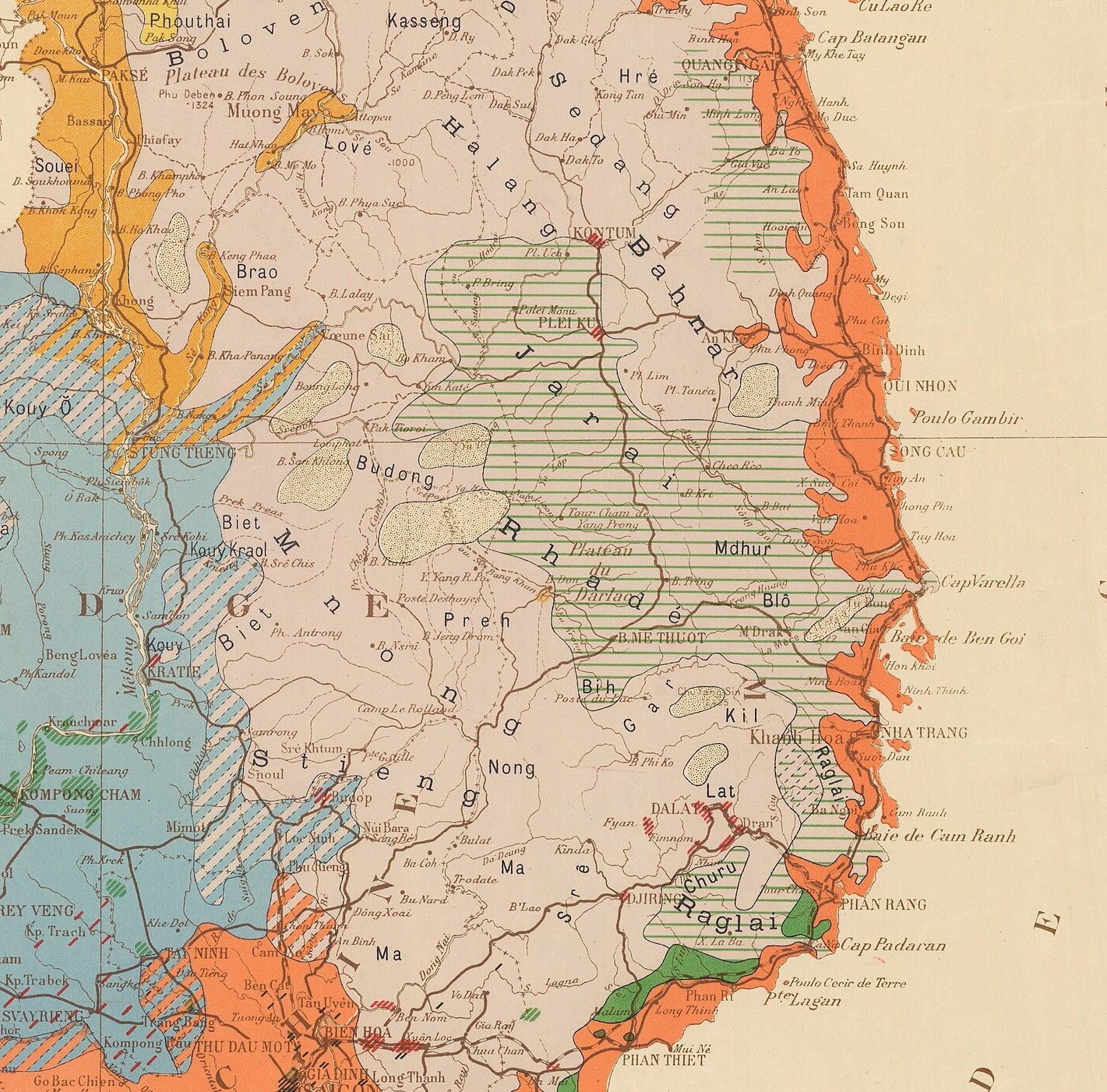
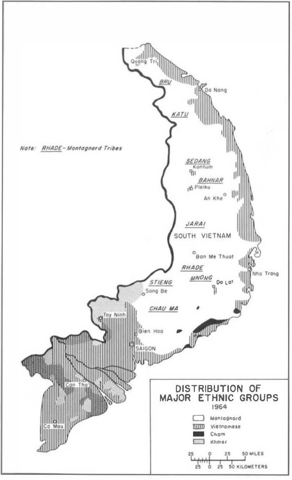
Our peoples have always lived interspersed, and every map that draws a line between them is an approximation. Broadly, the Bahnar and Sedang live around Kon Tum and east toward An Khe; the Jarai on the plateau around Pleiku and down the Ayun to Cheo Reo, and across the border in Ratanakiri; the Rhade on the Darlac plateau around Buon Ma Thuot; the Mnong south and west of Buon Ma Thuot and across the border in Mondulkiri; the Koho and Ma on the southern plateaus around Da Lat and Di Linh; the Stieng toward the Cambodian border north of Saigon. More than thirty peoples in all, spread over a territory about half the size of South Vietnam.

Places on the map
| Place | What it is to us | |
|---|---|---|
| Kon Tum | Seat of the Catholic mission from the nineteenth century; Bahnar and Sedang country | Read more |
| Pleiku | Jarai country; a major American and South Vietnamese base in the war | Read more |
| Buon Ma Thuot | Rhade country; Sabatier’s capital of Darlac, and a center of the protests of 2001 and 2004 | Read more |
| Cheo Reo (Ayun Pa) | Jarai country on the Ba river; home of Nay Luett | Read more |
| Ban Don | On the Srepok northwest of Buon Ma Thuot; the elephant catchers’ country of the Mnong and the Lao | Read more |
| Da Lat | The French hill station, in Koho country | Read more |
| Ban Lung and Sen Monorom | Towns of Ratanakiri and Mondulkiri, in Cambodia, where Jarai and Mnong also live and where refugees crossed | Read more |
What the maps called us
Every government that has mapped the highlands has named them to suit itself. The French survey of the 1890s, published as the Mission Pavie atlas of 1903, described our peoples as pushed back to the ridges by the lowland kingdoms and regarded by them as savages; the French explorer Henri Maître’s map of 1909 to 1913 is titled the Région Moï, the savage region, of south-central Indochina. Darlac passed from the French administration of Laos to that of Annam in 1905, and a French Resident was appointed. The ordinance of May 27, 1946, made the five provinces of Darlac, Haut-Donnai, Langbian, Pleiku and Kontum a special territory, the Populations Montagnardes du Sud-Indochinois, with its seat at Ban Me Thuot; the ordinance of 1951 called the same country the Pays Montagnards du Sud. See Names and words.
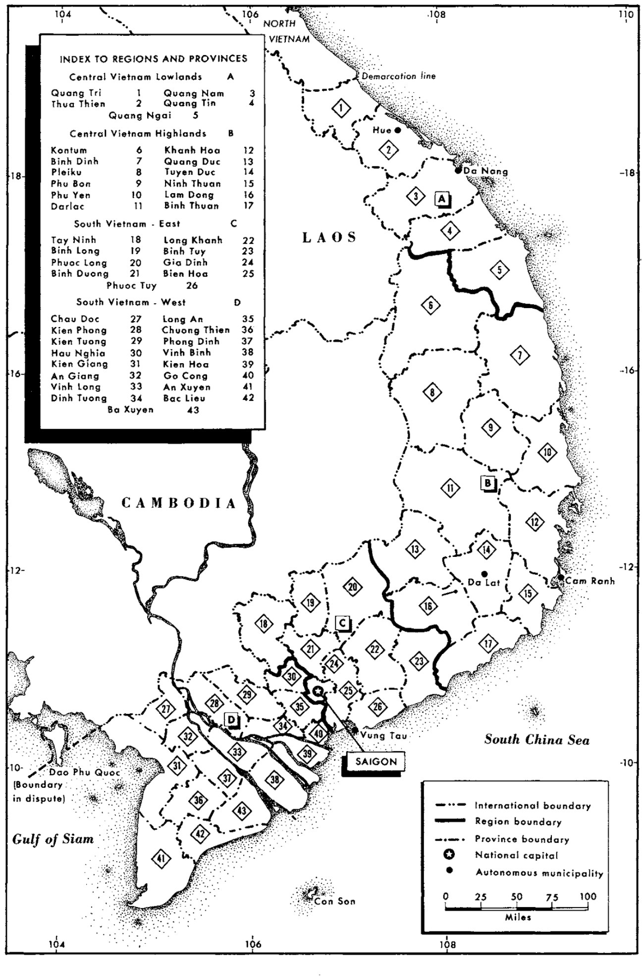
The Republic of Vietnam called the region Cao Nguyên, the high plateau, or Miền Thượng, the highland region, and the Diệm government replaced our place names with Vietnamese ones; one of FULRO’s demands was that the old names be restored. By 1966 the provinces of the highlands were Kontum, Pleiku, Phu Bon, Darlac, Quang Duc, Tuyen Duc and Lam Dong. After 1975 the region was renamed Tây Nguyên, the western plateau. The names our own peoples gave survive under all of these. Kon Tum is Bahnar: kon is village, and tum is the word for the ponds that fill beside the rivers in the floods, though the first Bahnar dictionary glosses the name simply as the village of Tum. Buon Ma Thuot is Rhade: Buon Ama Thuot, the village of the father of Thuot. The plei of Pleiku is the Jarai word for village. Da Lat is named for the Da river and the Lat people.
The provinces since July 2025
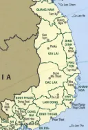
Maps and documents from before 1975 use names that have since changed: Darlac is today’s Dak Lak, Ban Me Thuot is Buon Ma Thuot, Kontum is Kon Tum. Vietnam redrew its provinces several times after 1975, and on July 1, 2025, it cut their number from 63 to 34, merged the highland provinces with their coastal neighbors, and abolished the districts altogether. Kon Tum is now part of Quảng Ngãi, with its capital on the coast. Gia Lai has absorbed Bình Định, and its capital has moved to Quy Nhơn. Dak Lak has absorbed Phú Yên and keeps Buon Ma Thuot as its capital. Lâm Đồng has absorbed Dak Nong and Bình Thuận and keeps Da Lat. Every one of the new provinces runs from the plateau to the sea, and in none of them is the highland country a unit of its own.
This matters for anyone searching the records. A person arrested in Dak Nong in 2010 is on a province list that no longer exists, in a district that has been abolished. We use the older names on this site, because those are the names in the records. See The prisoner records.
Across the border
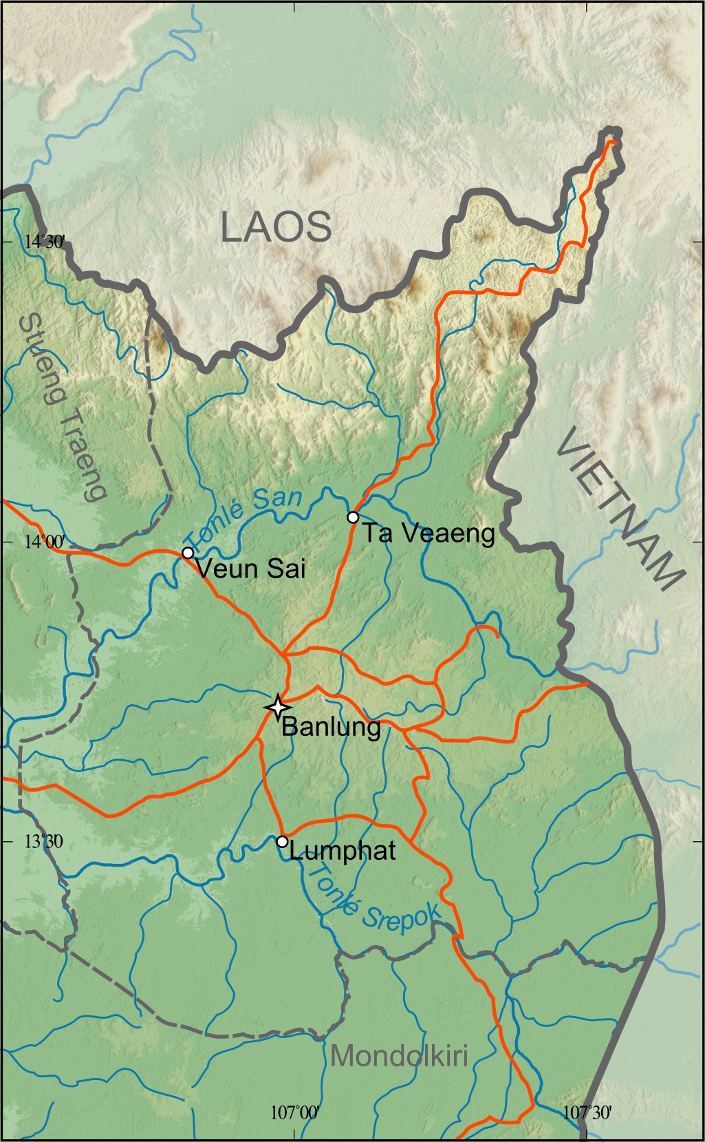
The border drawn by the French cut through the Jarai, the Mnong, the Brao and others. On the Cambodian side, Ratanakiri was made a province in 1959 from the eastern part of Stung Treng, and Mondulkiri in 1960 from the eastern part of Kratie. They are our kin’s country, and in the years after 1975 and again after 2001 they were where our refugees crossed. See Kin across the border and Mondulkiri, 1992.


Maps you can download
- The American army’s tribal maps of 1966, one for each of eighteen peoples with its subgroups, in Minority Groups in the Republic of Vietnam, in our library.
- The provinces of 1966, in the Area Handbook for South Vietnam (1967), in our library.
- The 1:250,000 sheet ND 49-5, Kon Tum (1972), in our library; the Mission Pavie atlas of 1903, in our library.
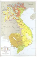
- The CIA’s Indochina Atlas of 1970 and its maps of ethnic groups of 1970 and 1972, and the Army Map Service sheets and city plans of Da Lat and Ban Me Thuot, at the Perry-Castañeda Library of the University of Texas.
- The French colonial maps of the 1940s and 1950s, among them the ethnolinguistic map of 1949 and the 1:400,000 road sheets of Ban Me Thuot and Dalat, in the Asia-Pacific map collection of the Australian National University.
What we do not know
The exact dates on which the French created each highland province. How the provinces were split and joined between 1975 and 2025, from a source independent of the Vietnamese state. The meanings of many of our own place names: Pleiku beyond its first syllable, Cheo Reo, Ayun Pa, Gia Nghia, Ban Lung, Sen Monorom. The old names of villages that are now wards of towns or lie under reservoirs. These are answers our elders hold. We would welcome a map of villages and old place names drawn with them.
Sources
- Base data: Natural Earth, 1:10m countries and rivers (public domain)
- Department of the Army, Area Handbook for South Vietnam (1967), in our library — the Annamite chain, Ngoc Ang, the size of the highlands, the two plateaus, Lang Bian, the provinces of 1966, where the peoples live
- Department of the Army, Minority Groups in the Republic of Vietnam, Pamphlet 550-105 (1966), Internet Archive, in our library — the rivers, the crater lakes, Lak lake, the basalt soils, the rains, the elephants, the name of Buon Ma Thuot
- Gerald C. Hickey, The Major Ethnic Groups of the South Vietnamese Highlands, RAND RM-4041 (1964), RAND, text copy — the locations of the peoples, Darlac in 1905; The Highland People of South Vietnam, RAND RM-5281 (1967), in our library — the place names under Diệm and FULRO’s demand
- Encyclopaedia Britannica, “Annamese Cordillera,” “Buon Me Thuot,” “Kon Tum” and “Da Lat” — lengths, heights and the naming of Da Lat
- Nguyen Thi Minh Thuyet and others, “Peridot from the Central Highlands of Vietnam,” Gems & Gemology (2016) — the ages of the basalt
- Stimson Center, “Analysis of Hydropower Impacts in the Mekong’s 3S Basin” (2023) — the three rivers’ share of the Mekong, Lower Sesan 2; Andrew B. Wyatt and Ian G. Baird, “Transboundary Impact Assessment in the Sesan River Basin: The Case of the Yali Falls Dam,” International Journal of Water Resources Development 23 (2007) — the dam, the floods and the losses
- P. X. Dourisboure, Dictionnaire bahnar-français (1889), in our library — kon, tum and the village of Tum
- Mission Pavie, Indo-Chine: Atlas (1903), in our library; Henri Maître, Région Moï de l’Indochine sud-centrale (map, Bibliothèque nationale de France); the ordinance of May 27, 1946, in our library, and the ordinance of May 21, 1951, from our own records
- UNHCR Centre for Documentation and Research, Vietnam: Indigenous Minority Groups in the Central Highlands (WRITENET, 2002) — Cao Nguyên, Miền Thượng and Tây Nguyên
- Vietnam Briefing, “Vietnam Officially Consolidates from 63 to 34 Provinces and Cities” (June 12, 2025); East Asia Forum, “Vietnam redraws its administrative map” (September 3, 2025); The Vietnamese Magazine, “Việt Nam 2025: redrawing the administrative map at breakneck speed” (January 2026) — the merger of 2025
- Roger Plant, Indigenous Peoples/Ethnic Minorities and Poverty Reduction: Cambodia (Asian Development Bank, 2002) — Ratanakiri and Mondulkiri
- Francis J. Kelly, U.S. Army Special Forces 1961–1971 (1973), in our library — the map of 1964
Compiled September 2026. Heights and areas are given as the sources give them, and where they disagree both are given. Place names are the ones in the records of each period; highland place names are written without Vietnamese diacritics, and places outside the highlands keep them.