























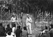
The Se San and the Srepok run west out of our highlands into Cambodia and the Mekong. From 1993 they were dammed. At Yali Falls alone 6,782 people were moved, three in five of them Jarai, Rongao and Bahnar, into standard houses with no kitchen, onto land that was promised and never arrived. Downstream, in Ratanakiri, people drowned in releases from a dam nobody had told them about. This page is about the cascade on both rivers, the people moved for it, and the people below it.
.jpg)
The rivers
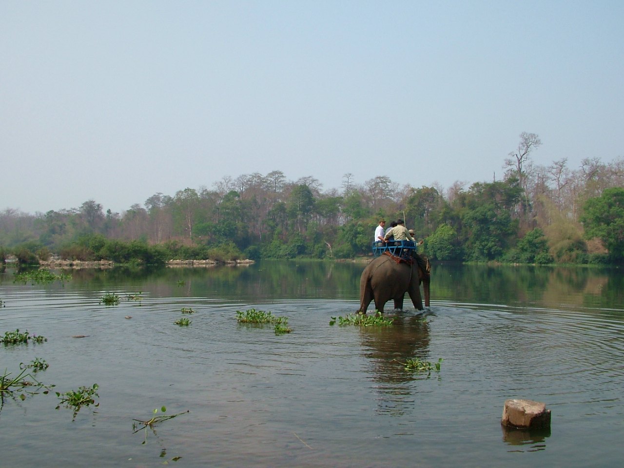

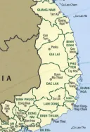
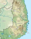
The Se San gathers the water of Kon Tum and northern Gia Lai; the Srepok gathers Dak Lak and Dak Nong. Both run west, not east to the Vietnamese coast, and join in Stung Treng before the Mekong. To us they were roads, fisheries and washing places, the rivers of Ban Don and Yali. To the planners of the 1990s they were a staircase of falls between the plateau and the Cambodian plain, and a staircase is a place to put turbines. The Se San in Vietnam now carries Yali Falls, Se San 3, Se San 3A, Se San 4 and Se San 4A, with Plei Krông on the Pô Kô and Upper Kon Tum on a tributary of the Đắk Bla above them; Se San 4 alone, built from 2004, has 360 megawatts. On the Srepok, the Vietnam Rivers Network counted in 2016, “6 dams with the total capacity of 870 MW, including Dray H’linh, Srepok 3, Srepok 4, Srepok 4A, Buon Kuop, and Buon Tua Srah, have been built along only 126 kilometers of the Srepok river running in the territory of Vietnam.” Below Srepok 4A the river that reaches Cambodia is what the canal leaves: about eight cubic meters a second, plus what the streams add.
Yali Falls
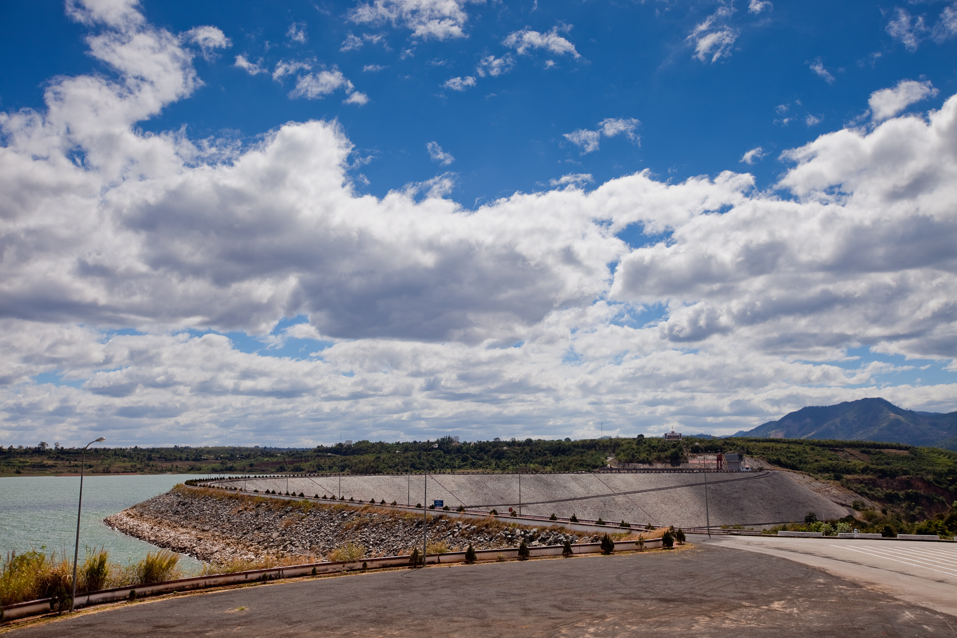
Yali Falls was the first and is still the largest. It stands on the Krông Pô Kô, the main stem of the Se San, about seventy kilometers above the Cambodian border. Construction of the billion-dollar dam began in November 1993; the main dam was closed by mid-1996 and the reservoir, 6,450 hectares of it, filled in 1998; its four turbines make 720 megawatts. It was, at the time, the largest dam ever built in the lower Mekong basin.
Who was moved
The one published study of the resettlement was made in 2000 by the Center for Natural Resources and Environmental Studies of Vietnam National University, with a grant from Oxfam America and advice from the International Rivers Network; it is in our library. It records that “the number of those relocated were 5384 included within 1149 households. However, the number increased to 6782 people (1375 households) at the end of 1998.” The figure actually moved was a quarter larger than the plan, which tells you how the reservoir was surveyed. Of those moved, “the Kinh (Vietnamese) people account for 40% of the resettled community … the Gia Rai constituting about 35%, Ro Ngao 19% and Bana 6%.” Three in five were ours. They were sent to nine sites: Kenh, Yut and Tut in Ya Mong commune, Chu Pah, on the Gia Lai side; Vinh Quang, Ya Chiem and Ngoc Bay at Kon Tum town; and Kroong, Sa Binh and Yali in Sa Thay.
What resettlement meant
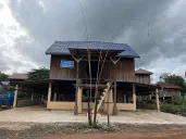
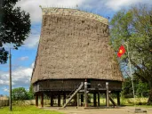
The houses. “In each village, houses are designed the same and the total area of the house is the same.” Kinh families got a brick house on the ground with a tile roof; our families got a house on cement stilts, “about 2.5m high,” with “no wall on the ground floor.” Neither had a kitchen: “The new houses do not contain a kitchen. Therefore, in the back of the new house many villagers have built a wooden house on stilts by themselves, which is used as the kitchen and bedroom.” “Thirty-one out of 45 households said they were not satisfied with the quality of the house”: too small for the family, leaking roofs, beams missing when they moved in. A Jarai or Bahnar family that had lived in a longhouse was issued a box on legs.
The land. Farmland was promised and did not come. That is the whole failure in one sentence: a farming people was moved off its fields and given a house instead of a field.
The food. “Only 4 out of 42 households reported that they had sufficient rice. The rest of the households lacked food.”
The money. Compensation was wildly uneven. For the move itself, “some households received only 200,000 VND (US$13), but some received 800,000 VND (US$55).” For lost crops, the study’s table shows Kinh households in Bình Sơn village receiving up to 120 million đồng, while highland households received small sums. Two families, moved by the same project on the same day, could be compensated a hundredfold apart. Nobody wrote a policy saying that. It follows from a system in which compensation attaches to registered, certificated, individually held property, and our land was none of those things; see Land law and customary land.
Below the dam
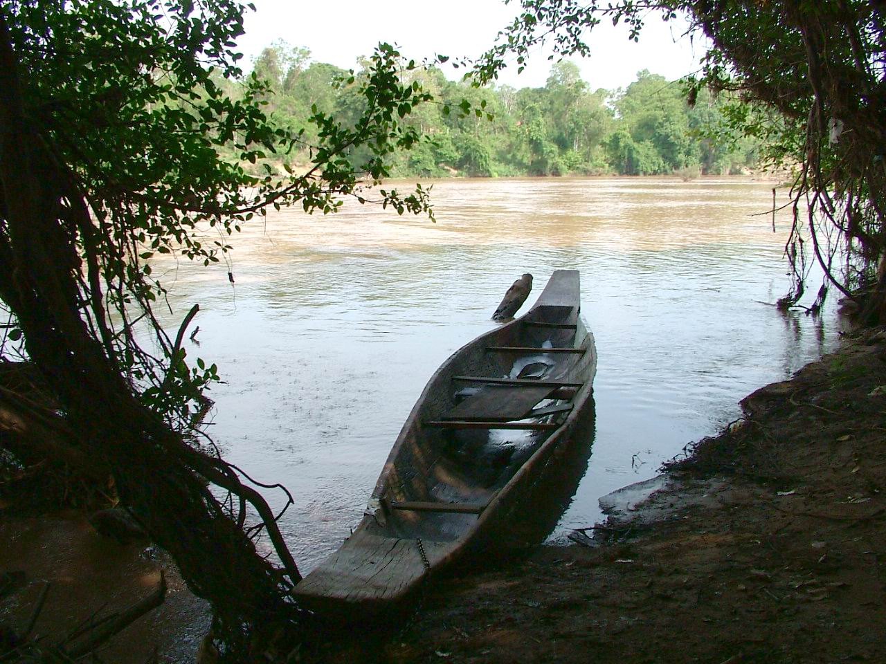

The people below the dam on the Vietnamese side were not resettled and were not consulted either, because nobody had classified them as affected. The same study surveyed the Jarai villages of Dip, Nu, Dom and Doch 2 in Chu Pah and Ia Grai. In the rainy season of 1999 “the village was hit twice by huge floods. The water levels were from 25 to 30 metres high.” “It is reported that two people died in the Bi village and one person was injured.” “The Dip lost 7 boats, the Nu 11 and the Dom 6.” “Commune staff explained that they were not able to inform villagers about the first releases of water so villagers had no way of preparing for them.” No compensation was paid, although the state routinely assists after a natural disaster. This was not a natural disaster. It was a gate being opened.
The fishery went with the floods. Ro Cham Lo, the headman of Dip, told the researchers that in 1996 and 1997 a haul could yield three or four baskets of fish; now, fishing all day, he caught a few. “Many species of fish have gone, especially big fish which taste delicious … All big fish disappeared because there is no breeding area for them.” The villagers called what came down the river cement water, and found “cement in the fish’s intestine, something which we never saw before.” They reported itching, eye irritation, bumps, respiratory infections, diarrhea and fever after bathing in it. The wild vegetables gathered along the banks no longer grew.
Across the border
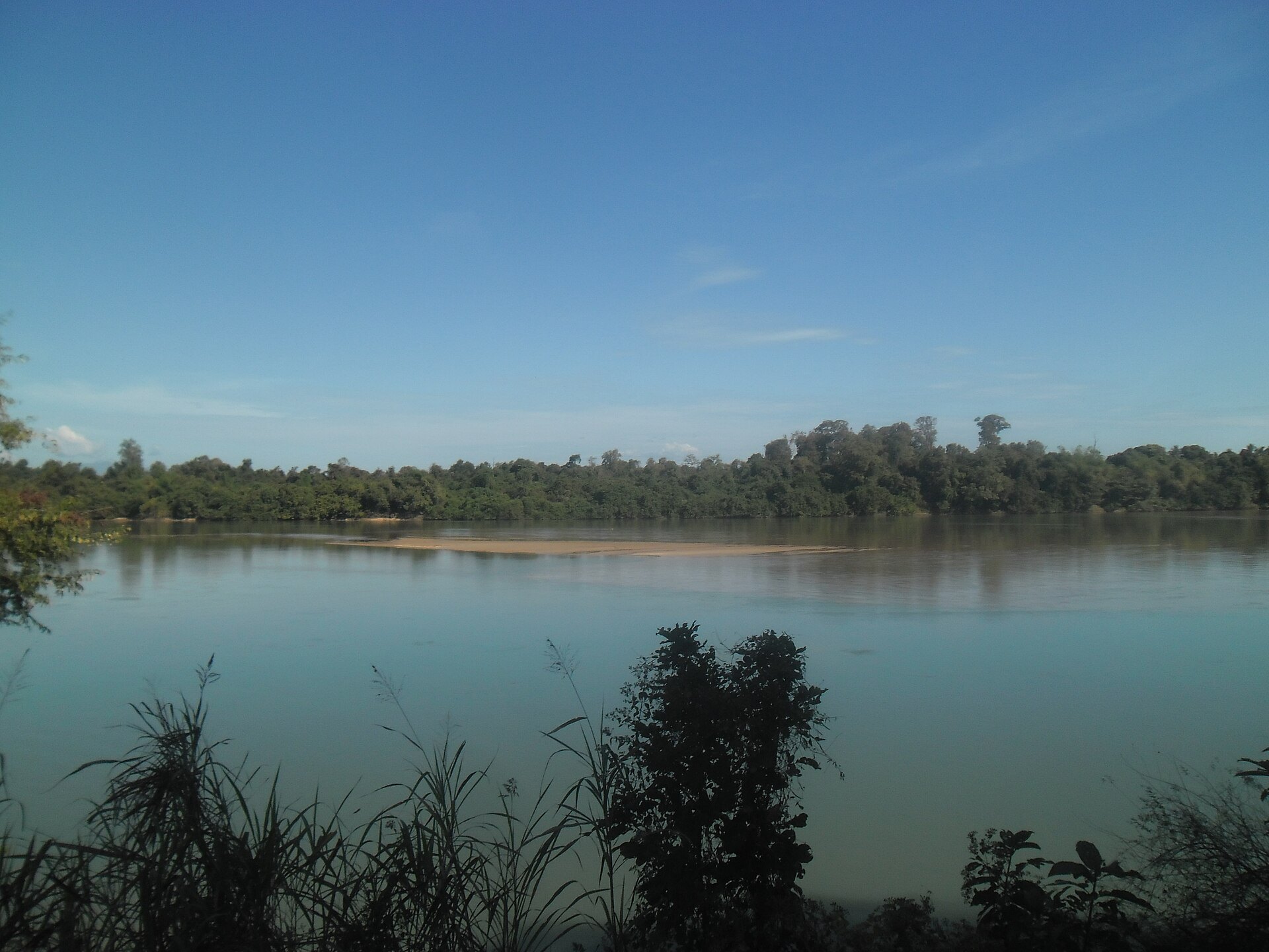

The Se San crosses into Ratanakiri, and the Jarai, Tampuan, Kreung, Brao and Lao along it are, in the Jarai case, the same people as the villages above; see Kin across the border. They received the floods with no warning at all. The first survey, by the Fisheries Office of Ratanakiri with the Non-Timber Forest Products Project in May 2000, led by Ian Baird and now in our library, interviewed fifty-nine villages of nine peoples in four districts. Its findings:
- “People from all the communities situated along the Se San River in Ratanakiri Province have reported that the hydrological regime of the river has been very irregular since October and November 1996, when a massive flood occurred”: the year the dam was closed.
- “At least 32 people, including a large number of children, have been drowned by the surges and rainy season flooding in Ratanakiri since the hydrological problems in the Se San River first began.”
- “It was determined that approximately 20,000 people in 3,500 families in Ratanakiri Province have experienced serious ecological and socio-economic impacts.”
- In 1999 alone, over 629 hectares of swidden and over 1,830 hectares of paddy were flooded; more than 612 buffaloes, 322 cows, 2,389 pigs and 40,000 chickens drowned; at least 1,191 boats and 9,563 gillnets were lost.
- Fish catches had fallen, villagers typically said, to 10 to 30 percent of what they had been.
- “Up until April 2000, neither villagers nor local Government … had ever received any notification regarding the timing of water releases.”
Villagers also told the survey that about 952 people had died of illnesses they believed came from the water; that is their count and their attribution, and the report prints it as such. A Cambodian environmental network founded after the 1996 flood, later the 3S Rivers Protection Network, went on reporting: in August 2005 it recorded four more deaths after a release from Yali, three from water-borne illness and a woman killed when a tree brought down by bank erosion struck her boat, while a provincial official told the Cambodia Daily that the dam was not the cause, because water was released from it all the time. By 2016 a village elder on the Se San, Tan Cheang, told a reporter that about thirty people had drowned in flash floods in his area: “The water comes too quickly before we can reach higher ground. What will happen when the other dam opens?” The other dam was Lower Sesan 2; see Lower Sesan 2: the dam downstream.
The Srepok followed. In January 2007 International Rivers reported that four of six planned dams on the Vietnamese Srepok were already under construction, and that Vietnam’s own environmental assessment “anticipates major changes in water flow and reduced fish stocks that will affect an estimated 11,000 Cambodians living along the river’s banks.” A villager from the Cambodian side, Sin Thong Lao, said at the hearing: “Dams may be good for your country, but you forget the hardship of the people living downstream.”
Twenty-five years on
We have found no independent follow-up on the nine Yali resettlement sites. A Vietnamese academic paper of 2017, which we cite with that caveat, found from fieldwork at Ngoc Bay that each resettled household had received 0.88 hectares against the 3.82 it had farmed before, and that “more than two decades have passed, but compensation activities have not yet been completed, despite numerous complaints from people affected by resettlement.” If your family was moved for Yali Falls, Se San 3, Se San 4, Plei Krông or any of the Srepok dams, we would like to know what happened after: what land you were given, what you farm now, whether the compensation ever came. See Documenting an incident.
Why this is in our library
Because the Yali Falls resettlement is the clearest documented case of the pattern this whole library describes, and it was recorded by outsiders with numbers attached: the same project, the same day, the same official procedure, and a Kinh household compensated for its crops while a Jarai household was not. And because the rivers do not stop at the border. The villages downstream in Cambodia belong to the same peoples as the villages flooded upstream, and the dam that finally drowned them, Lower Sesan 2, was first planned by Vietnam’s own electricity company.
See also: Kin across the border, Ha Mon, Forests, logging and the sacred groves, Reports and documents.
Sources
- Center for Natural Resources and Environmental Studies, Vietnam National University, Study into Impact of Yali Falls Dam on Resettled and Downstream Communities (for Oxfam America, with the International Rivers Network, February 2001), DCHO library — the resettlement figures, houses, food, compensation, the 1999 floods, fish and water
- Fisheries Office of Ratanakiri Province and the Non-Timber Forest Products Project (Ian G. Baird, lead author), A Study of the Downstream Impacts of the Yali Falls Dam in the Se San River Basin in Ratanakiri Province, Northeast Cambodia (May 29, 2000), DCHO library
- International Rivers, “Sharing the Srepok River: Cambodian Communities Downstream of Vietnam Dams Finally Get a Hearing,” February 1, 2007
- Paritta Wangkiat, “Trapped Between Two Dams,” Mekong Eye, January 26, 2016, and “Darkness along the banks of ‘The river of light’,” November 30, 2016 — the Srepok cascade figures of the Vietnam Rivers Network
- Ethan Plaut, “VN Dam Break Unleashes Havoc, Group Says,” Cambodia Daily, September 2, 2005
- Reference articles on the Yali Falls dam, the Se San and the Se San 4 dam
- Pham Thi Nhung, “Hydropower Development, Forest Degradation and Livelihoods of Affected People (Case Study in Yaly Hydropower, Gia Lai Province, Viet Nam),” East Asian Development Network Working Paper 116 (2017) — a Vietnamese university study, cited for its fieldwork only
Compiled September 2026. The Vietnamese resettlement study is from 2000 and the Cambodian survey from the same year; we have no independent account of what those sites and villages are like now.