












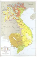
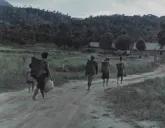
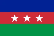


The border between Vietnam and Cambodia runs through the middle of our country. On the other side of it, in the Cambodian provinces of Ratanakiri and Mondulkiri, live Jarai, Bunong and other highland peoples who are our kin by language, by marriage and by history. It is where FULRO’s last fighters came out in 1992, where our refugees ran in 2001, and where Vietnamese rubber companies have taken land since. This page is about them: the same peoples under a different flag.

The same peoples on both sides
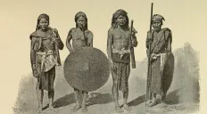
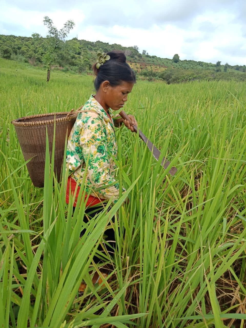
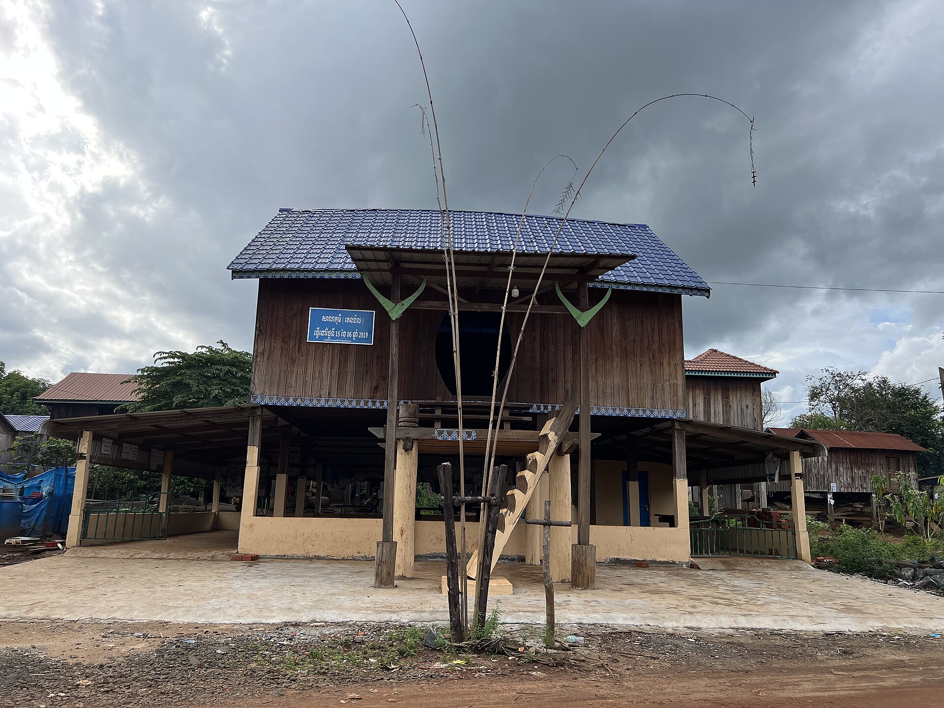
The colonial border was drawn for the convenience of French administrators, not of the people who lived along it. It cut the Jarai country in two, and the Mnong country, the Bunong as they are called in Cambodia, likewise. The Jarai of Ratanakiri and the Jarai of Gia Lai speak the same language and share the same ritual world; the Bunong of Mondulkiri and the Mnong of Dak Nong are the same people with a different spelling. In the 2019 Cambodian census there were 26,922 Jarai in Cambodia, as against 513,930 in Vietnam. The Bunong are the largest of Mondulkiri’s ten highland groups. See The Jarai and The Mnong.
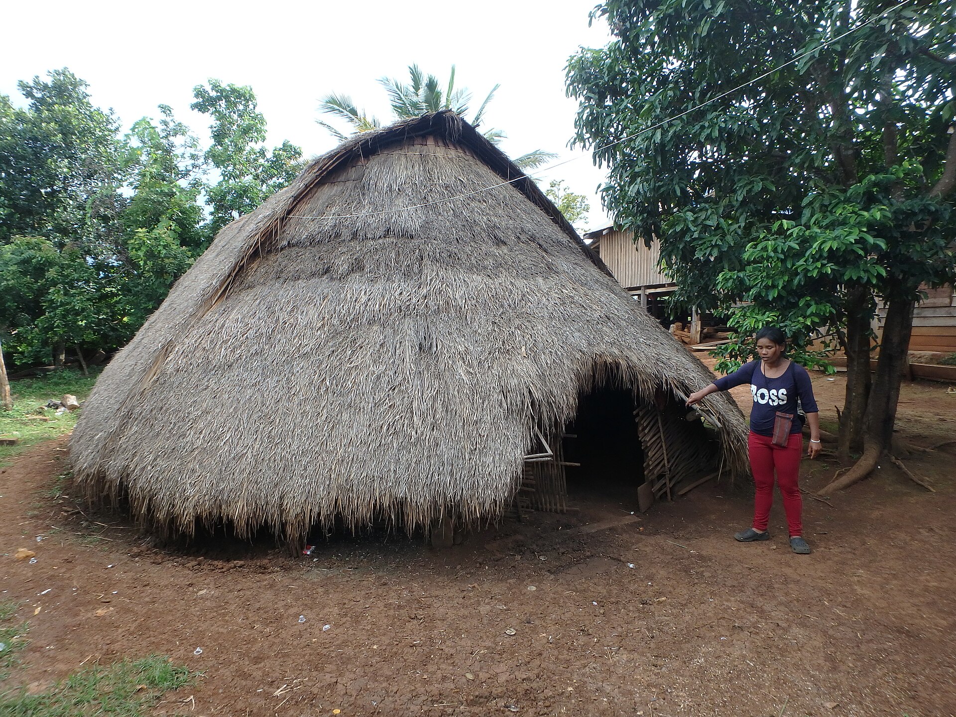

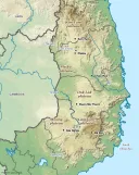
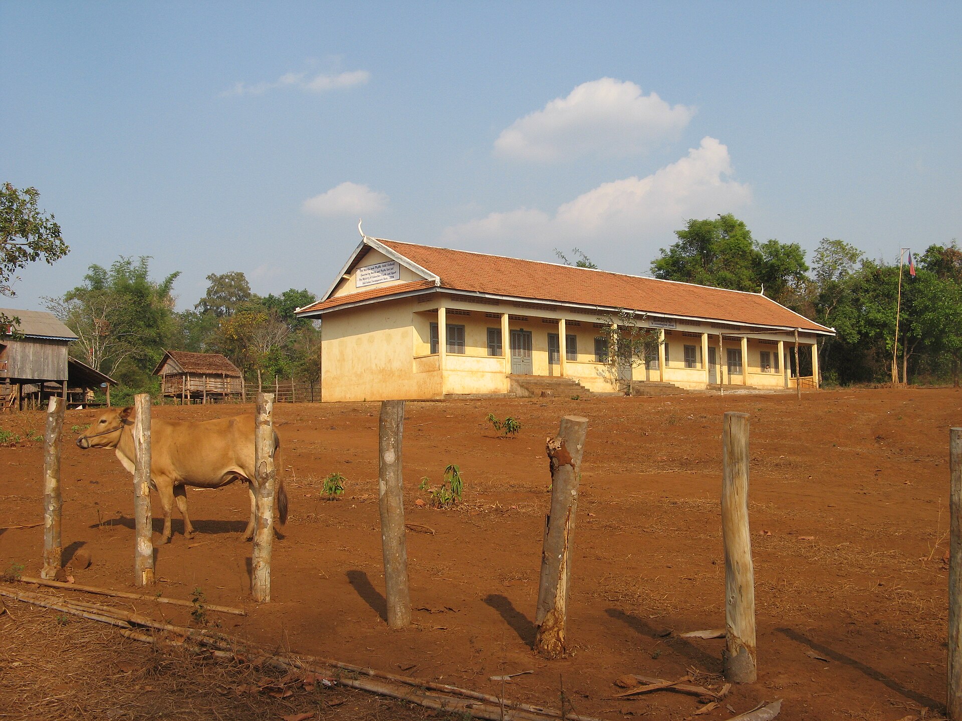
- Ratanakiri was created as a province in 1959, when Sihanouk’s government cut it out of Stung Treng and Kratie to hold the northeast. It had about 236,000 people in 2024, roughly half of them highland peoples. A 1996 estimate divided the highland population as Tampuan 35 percent, Jarai 24, Kreung 23, Brao 11, Kachok 3 and Kavet 3. In 2006 fewer than one in ten of them spoke fluent Khmer.
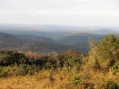
- Mondulkiri is Cambodia’s largest province by area and its least densely populated: about 98,000 people in 2024, some 80 percent of them from ten highland groups, mostly Bunong.
A shared history
Everything that happened to us happened, in a Cambodian key, to them. The French pacified the highlands of Cambodia in the same decades and by the same methods as ours; the historian Mathieu Guérin has written the standard account. The Khmer Rouge moved their leadership into Ratanakiri in 1966, among the highland peoples, and recruited there. In 1968 a Brao uprising against Sihanouk’s government was answered with reprisals that burned settlements and killed hundreds of villagers. American bombing followed from 1969. Bunong and Jarai men served in the Khmer Republic’s army in the early 1970s, some of them with FULRO backgrounds; the anthropologist Catherine Scheer has recovered their story. Then, in the Khmer Rouge years, Mondulkiri’s people were moved and starved like everyone else’s; about half the province’s population is thought to have died.
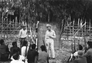
After 1979, with the Vietnamese army in Cambodia, the highlands of Ratanakiri and Mondulkiri were where FULRO could survive, because the villages were ours. Its last unit held out in Mondulkiri until United Nations peacekeepers found it in 1992 (Mondulkiri, 1992). In 2001 the people who fled the highlands after the February protests ran to the same villages, and the first camps were there (The Cambodian camps, 2001–2005). To a Jarai family from Gia Lai, Ratanakiri was not a foreign country. It was the next valley.

The land, again
Cambodia’s 2001 Land Law allows indigenous communities to register their land collectively: on paper, a stronger protection than anything we have in Vietnam. In practice the registration has been slow, and the same pressures arrived, often in the same trucks.
In May 2013 Global Witness published Rubber Barons, which documented how two Vietnamese companies, Hoang Anh Gia Lai and the state-owned Vietnam Rubber Group, had acquired huge rubber concessions in Ratanakiri and in southern Laos, cleared forest and village land, and been financed along the way by Deutsche Bank and by the World Bank’s International Finance Corporation. “Millions of hectares of land have been handed over without the knowledge or consent of the people who live on it,” the report said. The Vietnamese companies that took our land in Gia Lai were taking theirs in Ratanakiri; see Rubber.
What followed is the best-documented land case in the highlands on either side of the border, because the villagers took it to the World Bank. Inclusive Development International, which supported them, records the sequence:
- From 2008 three subsidiaries of Hoang Anh Gia Lai took more than 20,000 hectares of the land of fourteen villages in Ratanakiri, about 15,000 Jarai, Tampuan, Kachok and Kreung people, for rubber, clearing forest, spirit forests, burial grounds and farmland.
- In 2014 the villages filed a complaint with the Compliance Advisor Ombudsman of the International Finance Corporation, which had financed the company through an intermediary fund.
- In September 2015, in mediation, the company acknowledged that it had “made mistakes” and issued a formal apology; three of its concessions were cut by more than half, keeping more than 10,500 hectares of the villages’ customary land out of its hands.
- On March 26, 2019 the governor of Ratanakiri announced that sixty-four demarcated areas, 742 hectares of spirit mountains, burial forests and other sacred land, would be cut out of the concessions; in March 2020 the company cleared large areas of that land instead.
- In June 2024 twelve of the villages signed a memorandum of understanding with the company under which it is to return more than 700 hectares.
Sixteen years for seven hundred hectares of what had been twenty thousand. It is more than any of our villages in Vietnam has ever recovered, and it took a foreign bank and an international complaint to do it. Forest still covered about 78 percent of Ratanakiri in 2015; it is falling.
.jpg)
The rivers
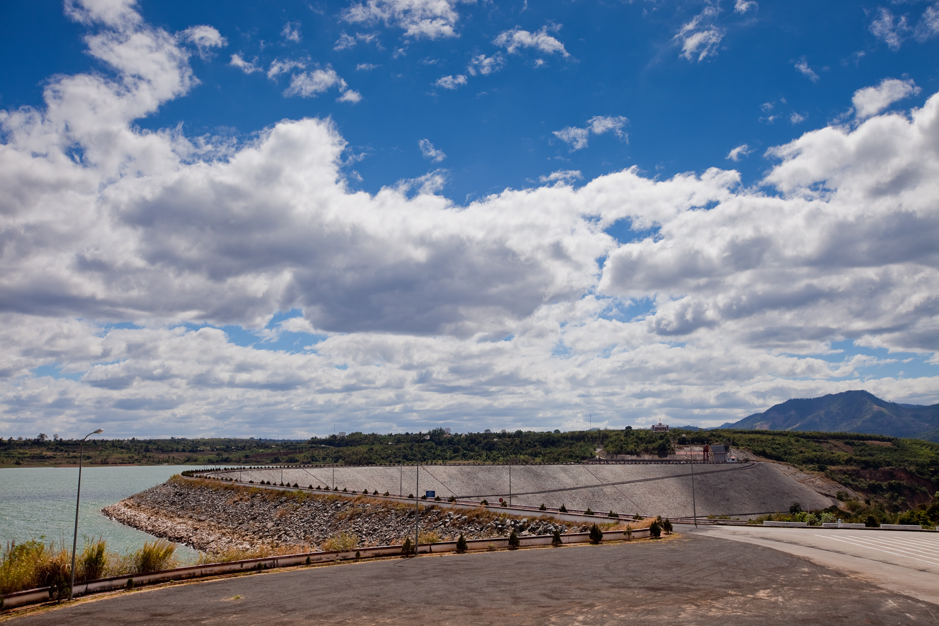
The rivers are shared too. The Se San and the Srepok rise in our highlands and flow west into Ratanakiri and Mondulkiri. The dams built on them in Vietnam, beginning with Yali Falls on the Se San in the 1990s, changed the lives of the villages downstream: floods without warning, fish gone, water that could not be drunk. Ian Baird’s study for the Ratanakiri fisheries office in 2000 was the first to document it. Then Cambodia built its own, the Lower Sesan 2, at the junction of the two rivers, and flooded villages of the Bunong and the Lao. See The dams and Lower Sesan 2: the dam downstream.

What this means for us
When we write about the Dega we mostly mean people in Vietnam and in the diaspora. The highland peoples of Ratanakiri and Mondulkiri are not a footnote to that. They are the same peoples under a different flag, with their own struggles over the same forests and rivers, and, in Cambodia, with rights on paper that we do not have and a record of using them. We link to their organizations and to the research on them wherever we can, and we would like to do more. If you work with a Jarai or Bunong community in Cambodia, please write.
See also: The wider diaspora, A map of the highlands, Asylum today.
Sources and further reading
- General Population Census of Cambodia 2019 and Population and Housing Census of Vietnam 2019 — the Jarai figures
- Global Witness, Rubber Barons: How Vietnamese Companies and International Financiers Are Driving a Land Grabbing Crisis in Cambodia and Laos, May 13, 2013
- Inclusive Development International, the Hoang Anh Gia Lai case — the sequence of the complaint and the 2024 agreement
- Ian G. Baird et al., A Study of the Downstream Impacts of the Yali Falls Dam in the Se San River Basin in Ratanakiri Province, Northeast Cambodia (2000)
- Mathieu Guérin, Paysans de la forêt à l’époque coloniale: la pacification des aborigènes des hautes terres du Cambodge, 1863–1940 (AHSR, 2008)
- Mathieu Guérin, Andrew Hardy, Nguyễn Văn Chính and Stan Tan Boon Hwee, Des montagnards aux minorités ethniques: quelle intégration nationale pour les habitants des hautes terres du Viêt Nam et du Cambodge? (IRASEC / L’Harmattan, 2003), free on OpenEdition
- Catherine Scheer, “Subaltern soldiers: Overshadowed Bunong highlanders in the Khmer Republic’s army, 1970–75,” Journal of Southeast Asian Studies 53 (2022)
- Ratanakiri and Mondulkiri provincial populations, the 1996 ethnic breakdown, the 2006 Khmer-fluency estimate and the 2015 forest-cover figure are as reported in the reference articles on Ratanakiri and Mondulkiri and their cited sources
Compiled September 2026.