


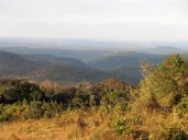

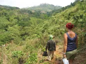




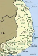






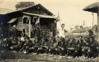

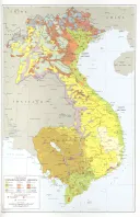
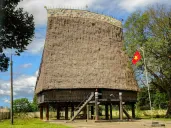




Our country is a stair of high plateaus behind the Annamite mountains, between about 500 and 1,500 meters above the sea: red basalt soil, forest, grassland and river valleys, from Kon Tum in the north to the Lam Vien plateau around Da Lat in the south. Its rivers run both ways, west to the Mekong and east to the sea. Its soil is why everyone who has governed it has wanted it. This page describes the land itself, the names we give it, and how outsiders have measured it. The documents that made it a territory in 1946 are on A country of our own, 1946.
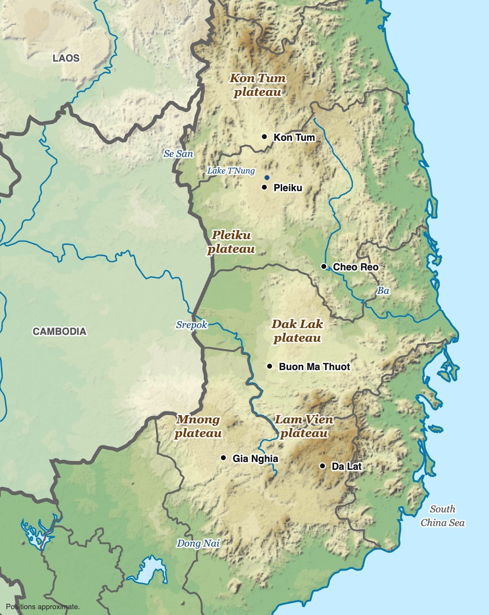

The plateaus
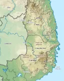
The Central Highlands are not one plateau but a series of them, stepping down westward from the Annamite range toward the Mekong lowlands of Cambodia and Laos.
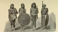
- The Kon Tum plateau, in the north, the country of the Bahnar, the Sedang and their neighbors, drained by the upper Se San and cut by the Dak Bla.
- The Pleiku plateau, the heart of Jarai country, a high rolling tableland of old volcanoes.
- The Dak Lak plateau, the great basalt shelf around Buon Ma Thuot, the country of the Rhade, where the Krong Ana and the Krong No come together to make the Srepok.
- The Mnong plateau of Dak Nong, higher and more broken, running south and west into the Mnong country of Cambodia.
- The Lam Vien plateau around Da Lat, the highest, near 1,500 meters, the country of the Koho and the Lat, which the French made a hill station for its cool.
Between and around them lie the valleys where most of our villages stood: the Ayun and the Ba at Cheo Reo, the Krong Pac and the Krong Ana south and east of Buon Ma Thuot, the Da Nhim below Da Lat. The peoples of each are described on The tribes and their languages.
The rivers, which run both ways
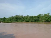
Four river systems drain the highlands, and they drain it in two directions.
- The Se San carries the northern plateaus west into Cambodia, where it joins the Srepok and the Sekong before the Mekong at Stung Treng.
- The Srepok carries the Dak Lak plateau west past Buon Don into Cambodia.
- The Ba turns east through Cheo Reo and reaches the sea at Tuy Hòa, where the lower river is called the Đà Rằng.
- The Dong Nai rises on the Lam Vien plateau and runs south toward Biên Hòa and Saigon.
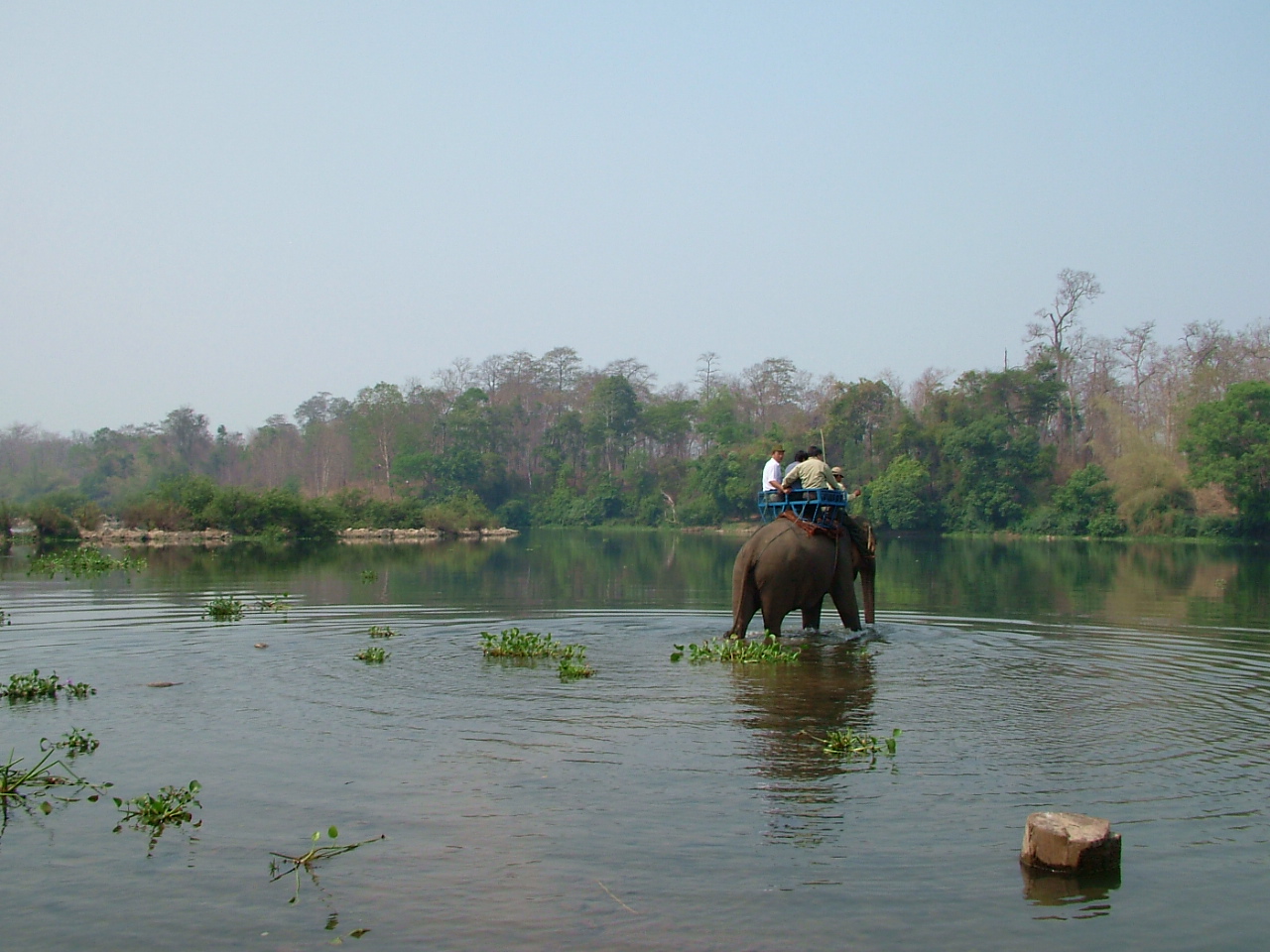

A country whose water goes both ways has always had roads both ways. Before it was a frontier, the highlands were a crossroads: salt, iron and cloth came up from the coast and went on toward the Mekong through our villages, and our elephants were caught and traded at Buon Don. The same rivers are what the dams of the last thirty years were built on; see The dams: Yali Falls and the rivers. And the Se San and the Srepok are why our people have kin on both sides of the Cambodian border; see Kin across the border: Ratanakiri and Mondulkiri.
The soil

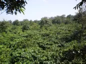
Weathered basalt over much of Pleiku and Dak Lak makes some of the most fertile land in Southeast Asia: deep, red and free-draining. Today more than 290,000 hectares of it are under coffee, which is most of Vietnam’s crop, with rubber, pepper, cashew and fruit behind it. See The land, and what was planted on it.
The soil is why the highlands were wanted, and every government has measured it in the same way. In 1958 the Republic of Vietnam’s land development office counted “vast stretches of red soils and valleys best suitable for cultivation of all kind”, 1,425,000 hectares of cultivable land, and noted that only about 106,000 hectares had been cleared under the French concessions. The rest, it said, was “left to the primeval wasteful forest breaking down and burning procedures of the aborigines according to their agricultural nomadic system.” Our fields, fallows and forests, which our customary law assigned to villages and families, were counted as land nobody used. That way of counting is how the land was taken; see Pushed off, 1954–57.
How big, and how many
Every measurement of our country belongs to whoever made it.
| Who measured | When | Area | People |
|---|---|---|---|
| French administration, as the CIA reports it | 1953 | — | about 6,000 Vietnamese in the highlands, outside Da Lat |
| Republic of Vietnam, land development office | 1958 | 57,000 km² | 600,000: 500,000 “aborigines,” 100,000 Vietnamese “and a few strangers” |
| CIA, Vietnamese Affairs Staff | 1966 | “nearly half of South Vietnam” | about 700,000 highlanders in some 22 groups; Vietnamese more than 40 percent of the population of the seven highland provinces by 1963 |
| Vietnam today, as reported by Wikipedia | current | about 54,500 km² in five provinces | several million, most of them not highlanders |
The differences are not only in method. The Republic counted the highlands as the hinterland of the coastal provinces; the CIA counted every highland people from Quảng Trị to Bình Thuận; the present state counts five provinces. What has changed most in seventy years is the last column. How many of us there are is on How many Dega there are.
The provinces of 1946
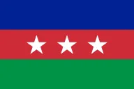
The federal ordinance of May 27, 1946 does not draw a line on a map. It names five provinces, Darlac, Haut-Donnai, Lang-Bian, Pleiku and Kon Tum, and takes them out of Annam; it puts the seat at Buon Ma Thuot. Those five are, roughly, today’s Kon Tum, Gia Lai, Dak Lak, Dak Nong and Lam Dong, with some upland districts that now belong to the coastal provinces. The boundary sometimes given for the territory, from the Annamite chain in the east to Laos and Cambodia in the west and from Cochinchina in the south northward toward Quảng Nam, is a description of those provinces, not a text of the ordinance. The 17th parallel, which some accounts give as the northern limit, only became a line in 1954.
What the boundary left out
Our own accounts hold that our peoples once lived over most of the south of the peninsula, from the mountains down to the coast, before the Cham and then the Vietnamese pushed inland. The Vietnamese took the Cham capital at Vijaya in 1471, and by the end of the seventeenth century had pushed the Cham survivors south and into Cambodia. Each advance pushed the highland peoples further from the sea; the history is on The first outsiders: Cham, Annam and the missions.
When the French drew the line in 1946 they drew it around where we had ended up, not around what had been taken. We record this not as a claim being pressed, but because a boundary is a document, and it is worth knowing what a document leaves out.
The words for it
The country is made of villages, and the word that begins most place names in the highlands is the word for village:
- buôn in Rhade, as in Buôn Ma Thuột, the village of Ama Thuot;
- plei in Jarai and Bahnar, as in Plei Ku, Plei Me, Plei Djereng;
- bon in Mnong;
- kon in Bahnar and Sedang, as in Kon Tum, the village by the lake.
Water words are as common: ea in Rhade and ia in Jarai for water or stream, krong in Rhade for river, dak in Bahnar and Sedang for water. Read Ea H’leo, Krong Pac, Ia Grai or Dak To on a map and you are reading our languages. More are on Names and words.
See also: A country of our own, 1946, Four highland towns, A map of the highlands, The elephants of Bản Đôn.
Sources
- Federal Ordinance of May 27, 1946, French text and English translation, DCHO library
- Republic of Vietnam, Commissariat General for Land Development, Briefing on Central Highlands Land Development Area (1958), DCHO library — the 1958 area, population and soil figures. Saigon was describing land it meant to settle.
- Central Intelligence Agency, Vietnamese Affairs Staff, The Highlanders of South Vietnam (June 1966; declassified 1999), chapter I, DCHO library — the 1953 and 1963 population figures
- “Central Highlands (Vietnam)”, Wikipedia — the present area and coffee acreage
- Gerald C. Hickey, Sons of the Mountains (Yale, 1982) — the plateaus, peoples and villages
Compiled September 2026.