









Two things came through the highlands during the American war that had nothing to do with us and fell on us anyway. One was the Ho Chi Minh Trail, the web of roads and paths that carried North Vietnam’s war into the South along our western edge. The other was the herbicide the United States sprayed to strip the forest from the Trail and the crops from the fields that fed its soldiers. The first test of that spray was flown along a road north of Kontum in August 1961. Two-thirds of the crops destroyed in 1967 were in our part of the country. In 1972 and 1973 an American anthropologist sat with our refugees in Kontum, Pleiku and Ban Me Thuot and wrote down what the spray had done to their children. This page sets out what is documented, what is ours, and what nobody has ever counted.

The Trail
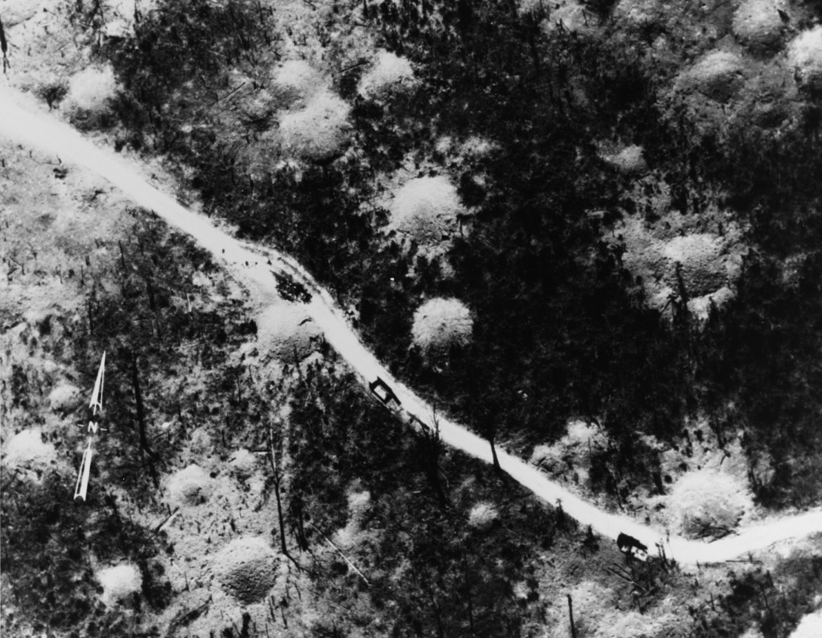
The Ho Chi Minh Trail was not one road. By the end of 1967 the North Vietnamese had built nearly three thousand kilometers of road fit for trucks through the Laotian panhandle, with as many as 43,000 people working on it; by 1970 it was run through twenty-seven binh tram, way stations each the size of a regimental headquarters. It ran south through Laos and into Cambodia, just west of the highlands, and a second system, the Sihanouk Trail, brought supplies landed at the port of Sihanoukville up through Ratanakiri on Route 110 to join it. Spurs ran east from it across the border into Kontum, Pleiku and Dak Lak. The base areas the Americans numbered 609, 611 and 612, in the tri-border country, supplied what Hanoi called the B-3 Front, the command for the whole of the Central Highlands, set up in September 1964 under the general who a year later sent three regiments against Plei Me and Pleiku.
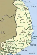
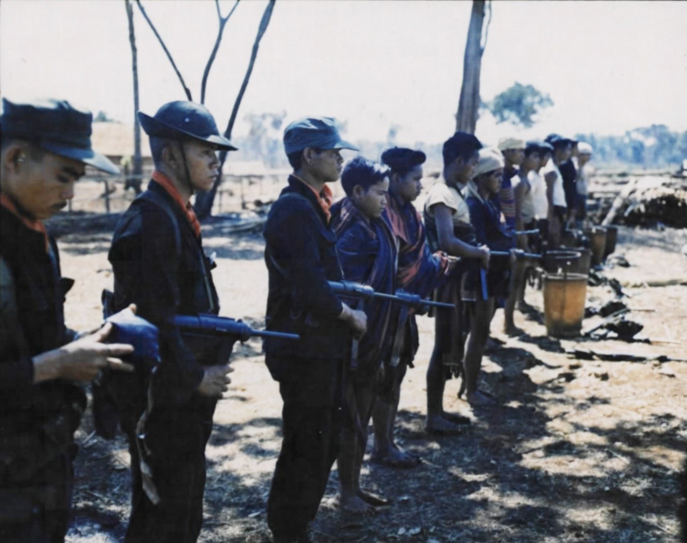
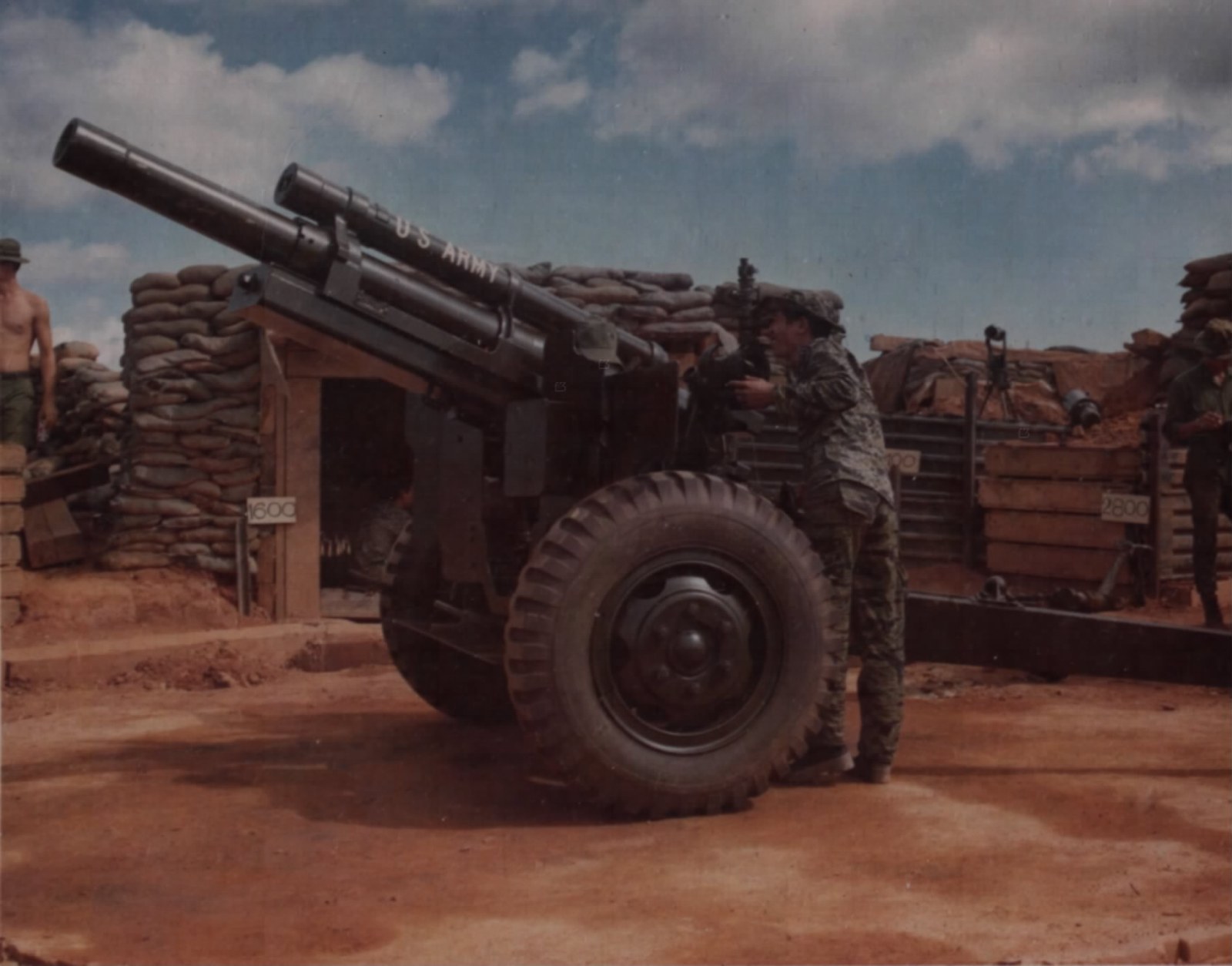
That geography decided a great deal. It is why the Special Forces built their border camps among the Jarai, Bahnar, Sedang, Halang and Rhade from 1962: twenty-four of them in the tri-border area alone by the middle of 1964, with our men in them, recruited to watch and patrol the frontier (see The American years). It is why the great battles were fought on our land, at Plei Me and the Ia Drang in 1965, at Dak To in 1967, at Ben Het, Dak Seang and Dak Pek in 1969 and 1970, and at Kontum in 1972, when the North Vietnamese came down the Trail with two divisions and tanks to take the town and cut the country in two (see Battles on our land). And it is why the highland villages along the border were bombed, sprayed and emptied from both sides for ten years.
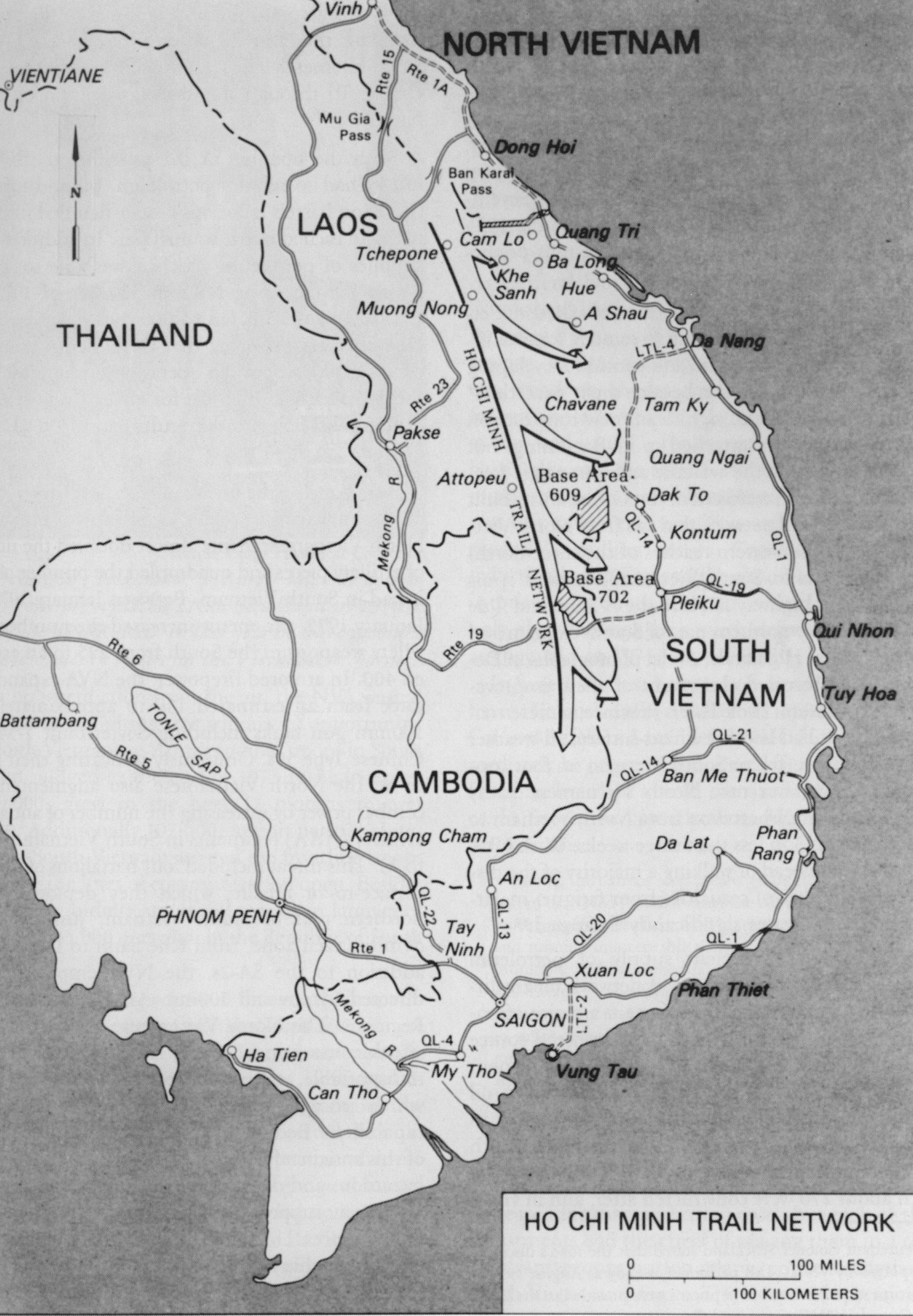

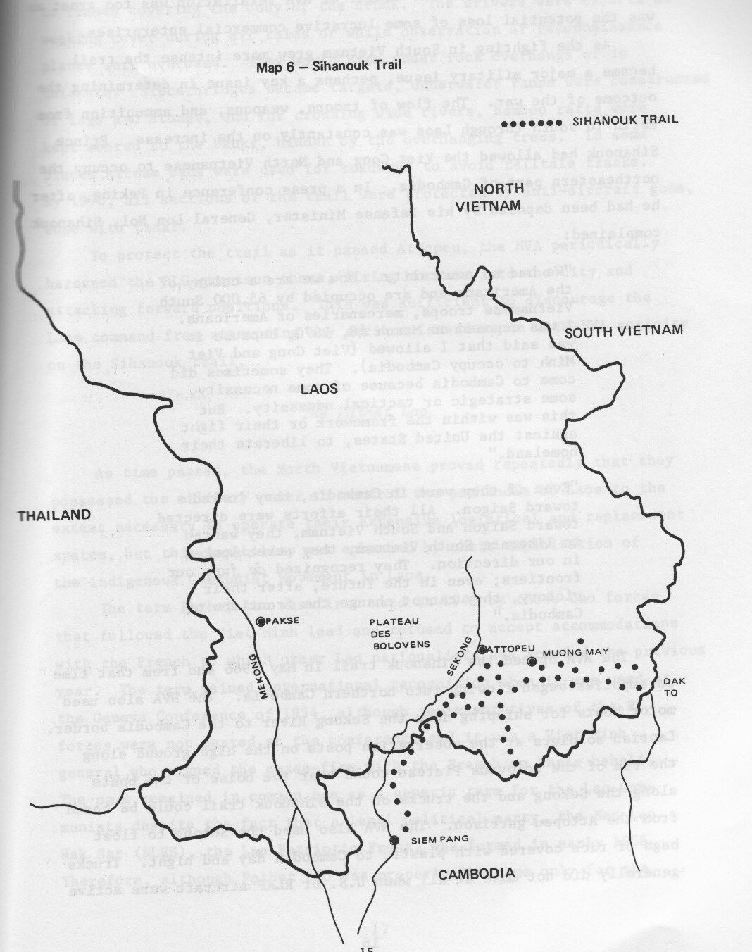

The Trail ran through highland country the whole way, and the peoples on the far side of it were ours. The heart of the system, a historian of the Lao side has written, was the porters, and the revolutionary bases on the Lao and Vietnamese border could not have worked without the upland villagers. On the Cambodian side the Vietnamese communists had operated in Ratanakiri since the 1940s; in June 1969 Prince Sihanouk himself said the province was practically North Vietnamese territory. From March 1969 to May 1970 the American B-52s bombed the base areas in secret: 3,800 sorties and 108,823 tons of bombs on six areas, two of them, Base Area 609 at the tri-border and Base Area 740 in Mondulkiri, in the country of the Jarai, Brao and Bunong. The Defense Department’s own estimate of the civilians living in the six areas was 4,247. No one has ever counted the dead. By the time the bombing of Cambodia ended in August 1973, 539,129 tons had fallen on the country, and Ratanakiri’s villagers were living in the forest with the Khmer Rouge (see Kin across the border).




Operation Ranch Hand
On August 10, 1961, a South Vietnamese Air Force helicopter fitted with a spray rig flew the first defoliation test in Vietnam along a road north of Kontum. Seven weeks later, on September 29, President Diệm told the American ambassador and the commander of the Pacific that there were large areas of the remote country where the Viet Cong had forced the Montagnards to clear land and plant rice, that the harvest was a month away, and that he wanted a “powder” to destroy it. He did not care what was used, he said, so long as the enemy was denied the crops. The American deputy secretary of defense, weighing the idea that November, conceded that killing crops in the Montagnard areas made sense militarily, worried about what it would do to Montagnard attitudes, and noted that Diệm had no plan to resettle or feed the Montagnards whose crops would be killed. The program was approved anyway.
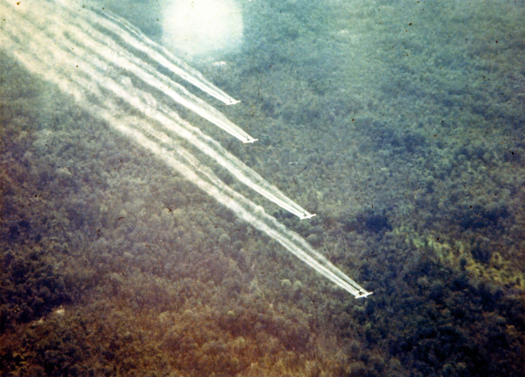
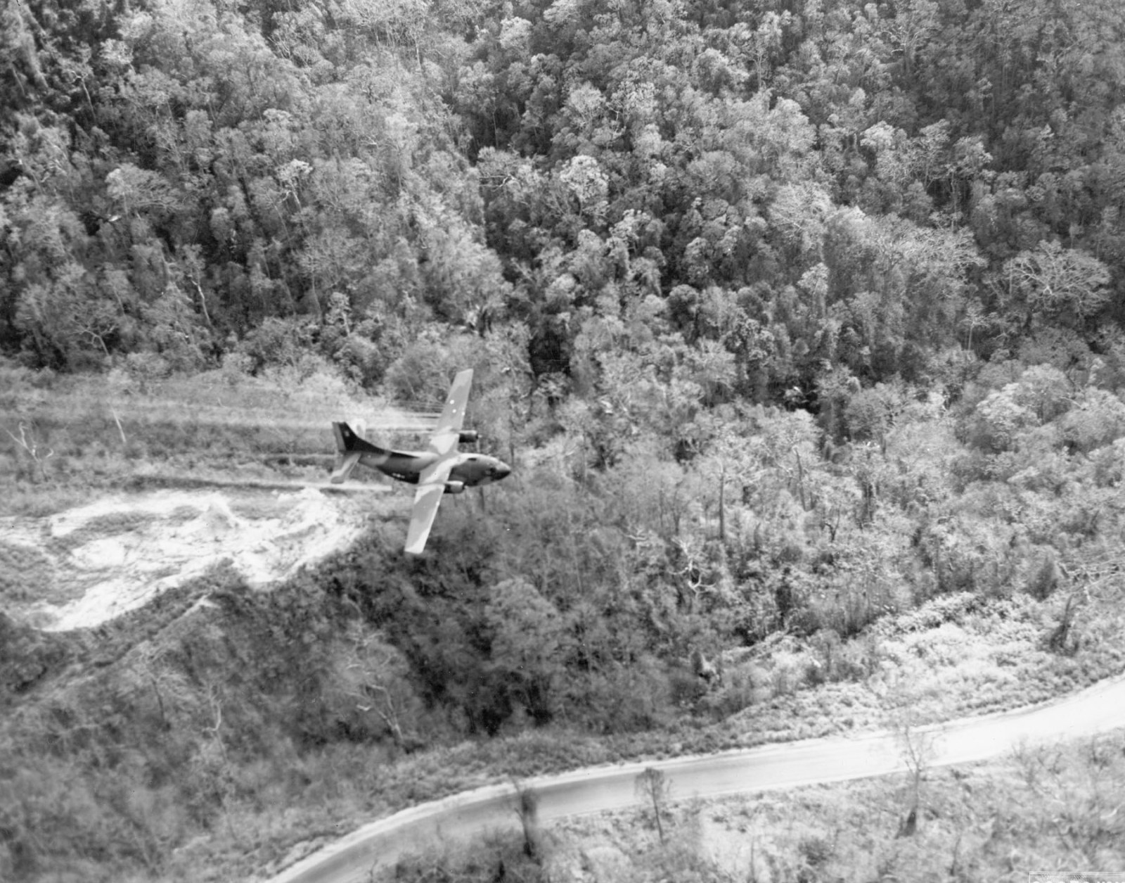
From January 1962 to February 1971 the United States Air Force sprayed herbicide over South Vietnam, and from December 1965 over the Trail in Laos. In the figures established by the Columbia University study of 2003, the fullest reconstruction of the flight records: at least 19,905 sorties; about 77 million liters of herbicide, seven million more than the government had admitted in 1974; about 65 percent of it containing 2,4,5-T, the agent contaminated with the dioxin TCDD; at least 366 kilograms of that dioxin, by the higher estimate; 3,181 hamlets sprayed directly, with between 2.1 and 4.8 million people living in them. About a fifth of South Vietnam’s forest was sprayed at least once. The aircraft flew at about 150 feet. That is the reason “Agent Orange” is still a medical word and not only a historical one.
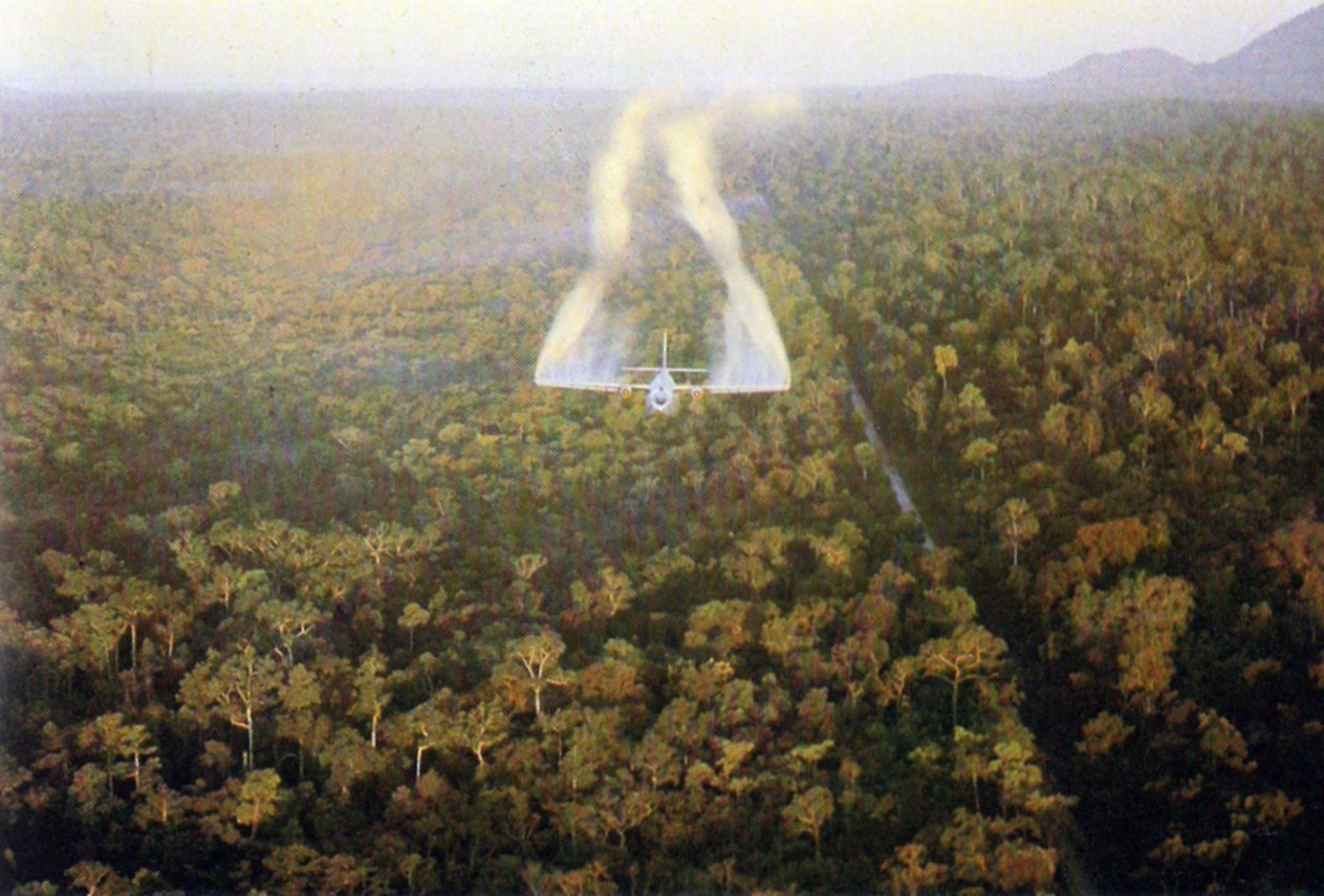

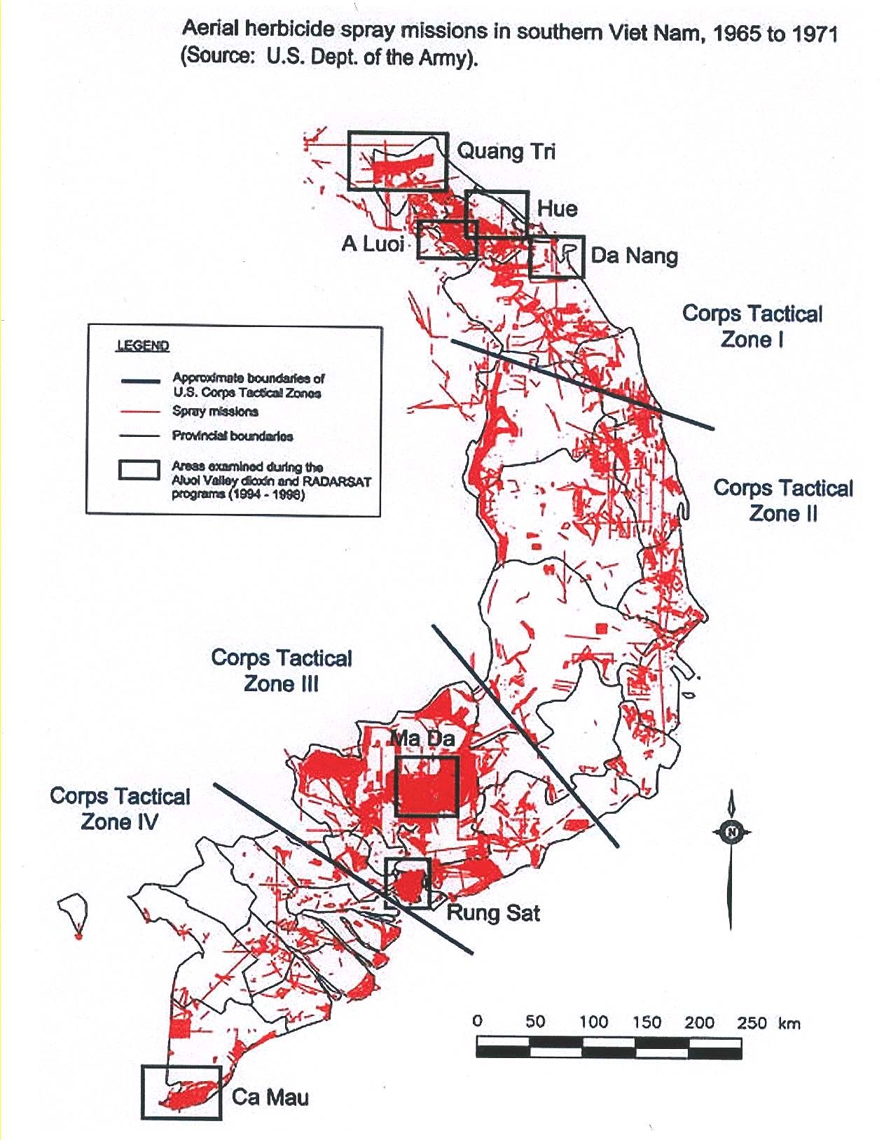

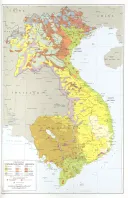
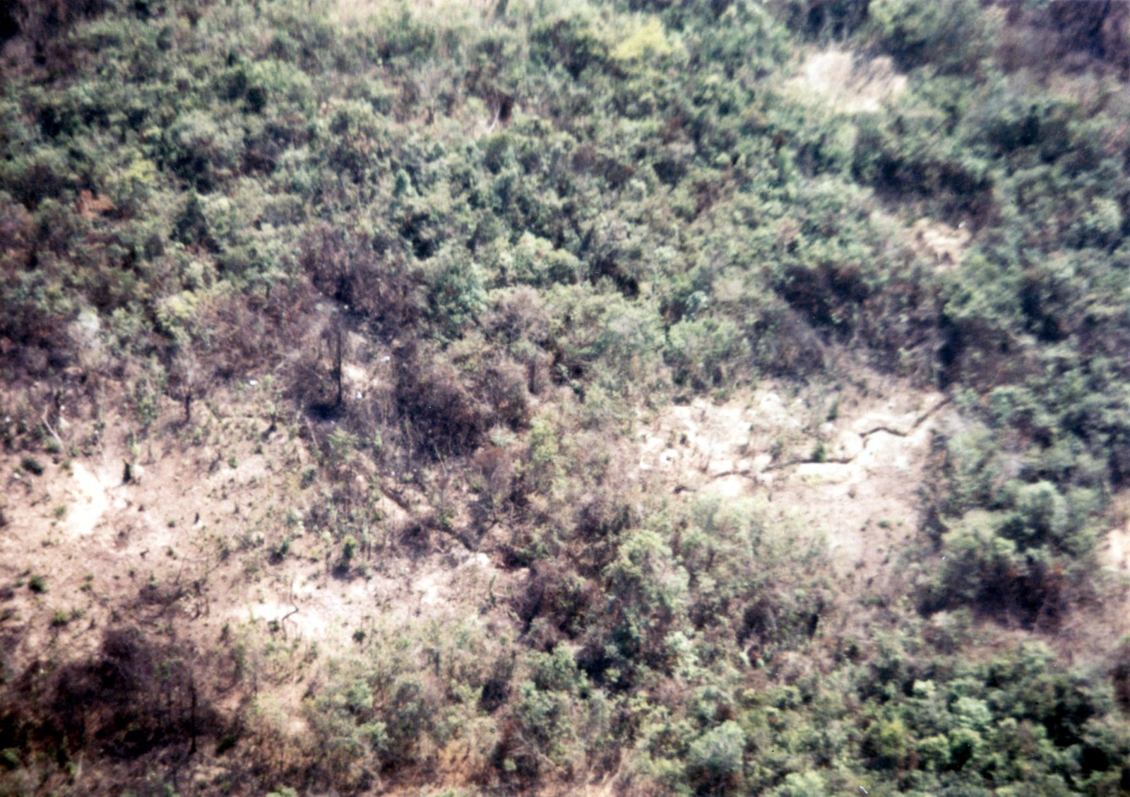
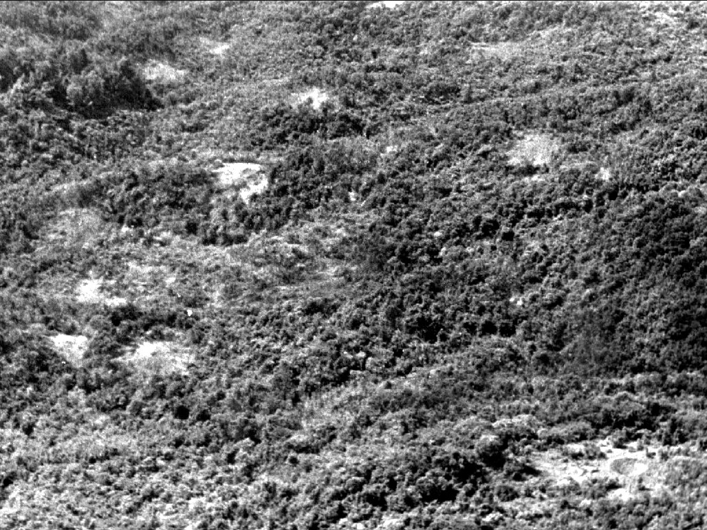
The map above is the Army’s own, every mission of 1965 to 1971 drawn on it, and the lines are thickest along the western edge of the highlands. Nobody has published a total for Kon Tum, Pleiku and Dak Lak alone, but the record gives pieces of it. In January 1966, after the battle of the Ia Drang, the Air Force sprayed the Chu Pong massif with 17,000 gallons of Orange in eighteen sorties so that it could be set on fire with incendiaries; the same month it flew 130 sorties around Pleiku, Nha Trang and the south. In 1967 the spraying supported a six-month campaign to root the enemy out of the Central Highlands. In 1968 the program moved north into I and II Corps because they were less populated and would cause fewer political problems, new bases let the aircraft reach the northern part of II Corps, and the Air Force’s own history records unintentional damage to crops, particularly in the II Corps area, from drift and navigation errors. Two scientists who visited that year reported that the highlands were now receiving Agent White in a higher proportion than before because it was less volatile. In Laos, the trails that crossed into South Vietnam ran over highlands three to seven thousand feet up, and the wind at that height dispersed the spray so badly that extra sorties were flown to kill the forest.


The crops
Not all of the spraying was meant to strip forest. About a tenth of it was crop destruction: spraying fields to deny food to the other side. The first crop missions were flown in November 1962 in Phuoc Long, the Stieng country, from the airstrip at Nui Ba Ra, against about a hundred small fields (see The Stieng). The guidelines of 1963 said crop destruction should be confined to remote areas known to be occupied by the enemy and limited to areas with an overall food deficit, and named the High Plateau first. The ambassador who recommended the program in September 1962 wrote to Washington that there might be an indirect impact on the Montagnards as the total food supply was reduced, but that the Montagnards affected could be taken care of through other programs. They were not. In upland areas the fields sprayed were highland swiddens, because those were the fields there were (see The rice year).
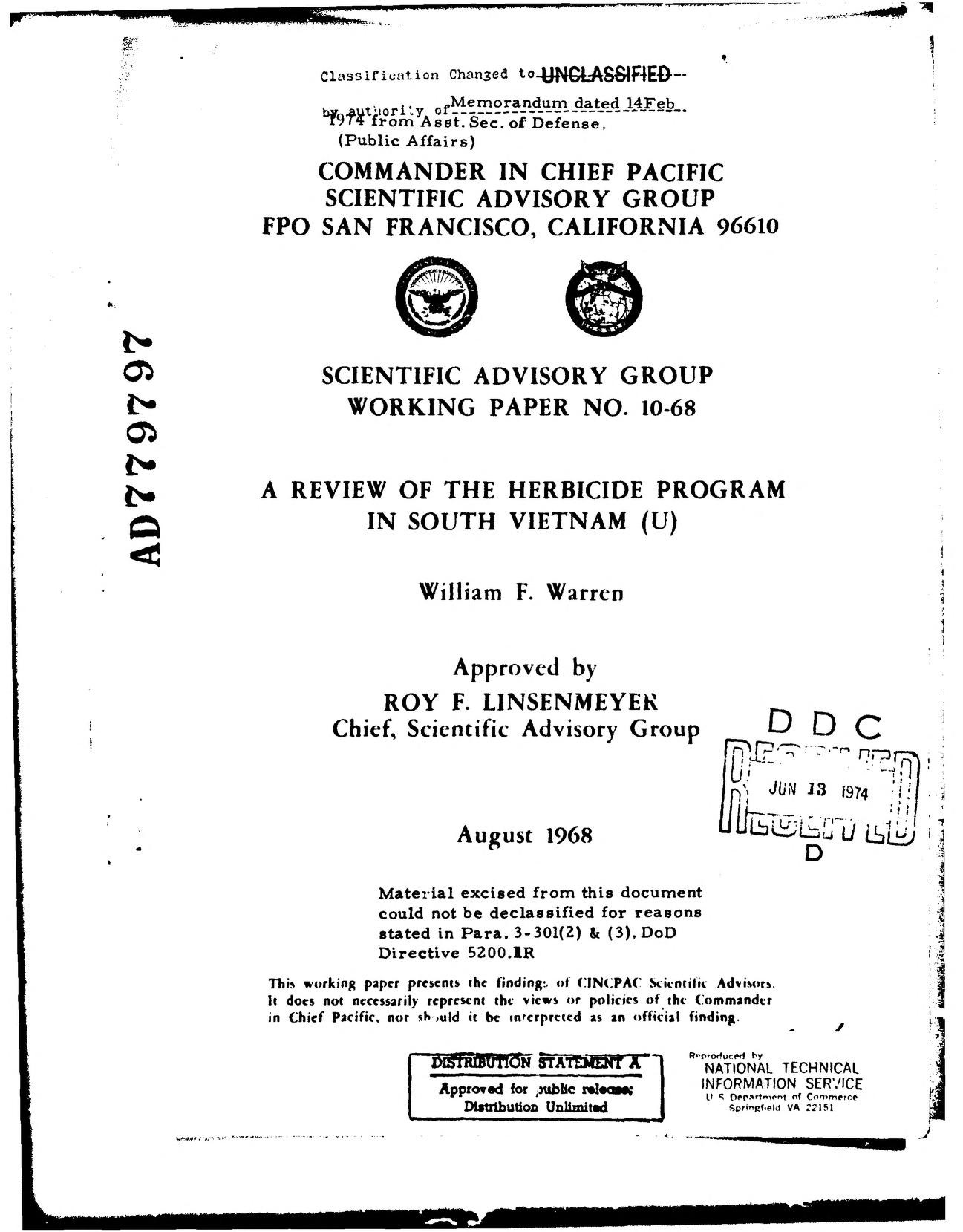
In August 1968 the scientific advisers of the Pacific Command reviewed the program for the admiral who ran it. Their analysis of the crop destruction of 1967 found that every mission had been flown in a rice-deficit province, and that 67 percent of them were in II Corps, the Central Highlands and its coast, 27 percent in I Corps, 6 percent in III Corps and none in the delta. Their subcommittee on refugees found, in their own words, that although Montagnards have been adversely affected by these operations, the program had not had a serious enough impact to make them come over to the government side. That is what the destruction of our fields was for: to move us. It is the same purpose as the strategic hamlets before it and the resettlement after it (see Strategic hamlets and relocation).
In 1967 the RAND Corporation, working for the American government, interviewed 206 former Viet Cong and civilians about the program and concluded that the crops destroyed were mostly the farmers’ own, that the enemy went on feeding himself, and that the peasant bore the brunt of the deprivation and did not like it: 88 percent of the people interviewed said the population blamed the Americans and Saigon, and three-quarters said the blame approached hatred. Its footnotes are about us. The one case in which villagers were saved from starving after a spraying, it noted, was where the Viet Cong brought in food or organized mutual aid, and that had happened largely in Montagnard areas. A Montagnard political officer who had come over to the government side told the interviewers that the government was multiplying its enemies instead of reducing them. The Joint Chiefs of Staff read the study and replied, in December 1967, that the program was effective and needed no change; among their arguments was that after the crops died, groups of civilians had moved to areas under government control.
In November 1970 two scientists sent by the American Association for the Advancement of Science inspected a sprayed area in Quang Ngai, the Hre country, and wrote to the ambassador. The spraying had covered about a thousand acres and run for ten miles through country with more than nine hundred houses, about 180 people to the square kilometer. The government’s own plan for the coming year marked 14,575 tons of rice and other crops for chemical destruction in Quang Ngai and Quang Tin alone, enough to feed fifty to seventy thousand people for a year, in provinces whose whole Montagnard population was just under seventy thousand. The Hre refugees they interviewed said that land the chemicals had touched was cursed by an evil spirit and would be abandoned. Six weeks later the White House announced that the program would be wound up (see The smaller peoples).

What our people saw
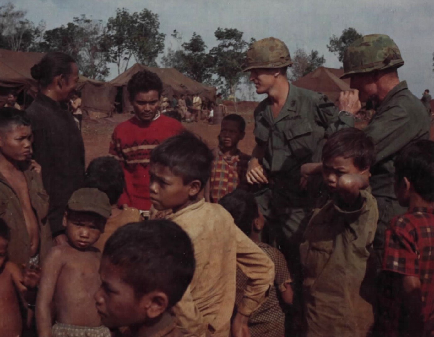
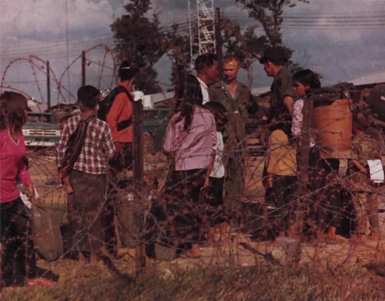
There is one study that asked us. In November 1972, with the highland towns full of villagers driven in by the offensive of that spring, Gerald Hickey, working for the committee of the National Academy of Sciences that Congress had ordered to examine the herbicides, interviewed refugees in Kontum, Pleiku and Ban Me Thuot: Sedang from Long Djon and Dak Rosa, Halang from Dak Tang Plun and Dak Siang, Rengao from Polei Krong and Polei Kleng, Jarai from Plei Ro-O and Plei Jar Turn, Rhade at the Dam San refugee center, and a Hroy agricultural engineer from Phu Yen. He asked first whether they had seen aircraft spraying, and when. Around Dak To there had been many sprayings since 1967. The engineer’s first, in September 1969, was aimed at the swiddens.
Then he asked what happened. The people of Long Djon felt a stinging in their noses as the spray drifted into the village, and many developed coughs that lasted more than a month; more children than adults fell ill, and many children died. At Dak Rosa an informant knew of three deaths and another of five stillbirths after the mothers had worked in the sprayed swiddens. At Dak Tang Plun the children fell ill with abdominal pains, diarrhea, fever, coughs and rashes, and the villagers estimated that thirty had died; all their chickens, most of their pigs and some of their cattle died too. At Plei Ro-O some villagers coughed blood, and one man said that 38 children died after eating plants from the sprayed areas. At Polei Krong the skin came up in red patches with small blisters, like a burn, and a village chief said that in the week after the spraying two children died one day and two the next. At Dak Siang the children who died were the ones who had drunk from the stream after the spray; they fell ill the first day and died the next, and one woman said their skin was the color of green in the leaves. At Polei Kleng the villagers estimated that around forty people, adults and children, had died. The fish in the streams swelled, and the people who ate them fell ill; at one place the Americans at Tan Canh warned them not to eat the fish and then put something in the water. In the forest west of Ben Het, where they hunted and gathered, the small plants and brush died and the big trees stood with dead leaves, which they had never seen before, and afterward they kept away from it. All the crops in the sprayed swiddens died, rice, maize, manioc, eggplants and pumpkins, and in the kitchen gardens where the spray had drifted the plants wilted and did not recover.
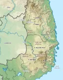
Hickey wrote that these effects were totally unanticipated in his research, that the patterns suggested harmful effects on humans, animals and fish, and that the study was preliminary and more should be done. Nothing more was done. The National Academy’s committee reported to Congress in 1974 that it had been unable to find definitive evidence of direct damage to human health, although, it said, there were reports from Montagnards of respiratory distress in children; because the committee could not visit the Montagnard areas, those reports remained unconfirmed and uninvestigated. That sentence is the whole of what the United States has ever concluded about what its herbicides did to our children. The villages Hickey named are on the map. The families are in Kontum, in Pleiku, and in North Carolina. Nobody has gone back to ask them.


What is ours in this
We say plainly what the record supports and what it does not. That the highlands were sprayed more heavily than any other part of the country, in proportion to the people living there, is supported by the Army’s map, by the Pacific Command’s figure of 67 percent for the crop missions of 1967, and by the choice made in 1968 to move the spraying into the less populated corps. That the crops destroyed were ours is supported by Diệm’s own words in 1961, by the ambassador’s in 1962, by the guidelines of 1963, by the scientists in Quang Ngai in 1970 and by RAND’s footnotes. That our children died of it is the testimony of the people of eleven named villages, given to an American scientist, written down, and printed by the National Academy of Sciences. It is not a rumor. It has never been followed up, which is a fact about the governments that did the spraying and the government that now rules the sprayed country, not about the people who remembered it.
What is not established is a number: how much fell on Kon Tum, Pleiku and Dak Lak; how many highland villages were under the spray paths; how many of our people died of it then, or carry it now. The Columbia data can in principle be broken down by district. As far as we know, that has never been published for the highland provinces. In A Luoi, the valley of the Ta Oi and Pacoh in Thua Thien, more than 400,000 liters of herbicide were sprayed between 1965 and 1970, and the old airstrip at A So is one of the most dioxin-contaminated places in Vietnam; that has been measured because it was near the coast and a research team could reach it. Nobody has measured a highland village.


For families in the diaspora
Highlanders who served with the American forces, and their children, may be affected by exposure to herbicides. In the United States the Department of Veterans Affairs is the body that deals with Agent Orange claims by veterans; eligibility for people who were not American service members is limited and depends on the case. Get advice from an accredited organization before making a claim. If you were in one of the villages Hickey named, or in any village that was sprayed, and you are willing to say what you saw, write to us. The record of what the spray did to us is eleven villages long. It should be longer, and only we can make it so.
What we do not know
- The volume of herbicide sprayed on Kon Tum, Pleiku and Dak Lak, province by province.
- How many highland villages lay under the spray paths, and how many people were in them.
- Whether any of Hickey’s informants of 1972 are living, and whether their villages were ever examined.
- How many of our people were conscripted as porters and laborers on the Trail on the northern side. The Lao side has been written about; ours has not.
- How many highlanders died under the American bombing of the base areas in Ratanakiri and Mondulkiri.
Sources
- William A. Buckingham Jr., Operation Ranch Hand: The Air Force and Herbicides in Southeast Asia, 1961–1971 (Office of Air Force History, 1982), DCHO library, also on the Internet Archive — the first test north of Kontum, Diệm’s request of September 29, 1961, Gilpatric’s memorandum, the first crop missions in Phuoc Long, the guidelines of 1963, Chu Pong, the highlands in 1967 and 1968, Laos, the RAND dispute and the Joint Chiefs’ reply, the National Academy’s report
- W. F. Warren, A Review of the Herbicide Program in South Vietnam, CINCPAC Scientific Advisory Group (August 1968), DCHO library, also on the Internet Archive — 67 percent of the 1967 crop missions in II Corps; the refugee subcommittee’s finding on the Montagnards
- Gerald C. Hickey, “Perceived Effects of Herbicides Used in the Highlands of South Vietnam,” in National Academy of Sciences, The Effects of Herbicides in South Vietnam, Part B: Working Papers (February 1974), DCHO library, from the National Agricultural Library — the interviews of 1972 and 1973, village by village
- J. M. Stellman and others, “The extent and patterns of usage of Agent Orange and other herbicides in Vietnam,” Nature 422 (2003), 681–687 — the sorties, liters, dioxin and hamlets
- R. H. Betts and F. H. Denton, An Evaluation of Chemical Crop Destruction in Vietnam, RAND RM-5446-1 (1967) — the 206 interviews, the footnotes on Montagnard areas
- Matthew Meselson and Arthur Westing, letter to Ambassador Bunker, November 12, 1970 — Quang Ngai, the 14,575 tons, the Hre refugees
- US Department of State, Foreign Relations of the United States 1961–63, vol. II, document 294, Saigon, September 26, 1962 — the ambassador on the Montagnards and the crops
- National Academy of Sciences, Veterans and Agent Orange (1994), the history chapter — the committee’s conclusion of 1974 and the White House announcement of December 26, 1970
- Tran Thi Ai My and others, “Evaluation of the dioxin-like toxicity in soil samples from Thua Thien Hue province,” Ecotoxicology and Environmental Safety (2021) — A Luoi and the A So airstrip
- Defense Intelligence Agency, Description of the Ho Chi Minh Trail (1966) — Route 110 and the Sihanouk Trail into central South Vietnam
- Vatthana Pholsena, “Highlanders on the Ho Chi Minh Trail,” Critical Asian Studies 40:3 (2008) — the porters and the upland villages on the Lao side
- Taylor Owen and Ben Kiernan, “Bombs over Cambodia,” Asia-Pacific Journal (2007), and the Air Force records of Operations Menu and Freedom Deal — the tonnage and the base areas
- CEOBS, “New data on Agent Orange use during the US’s secret war in Laos” (2024) and Agent Orange Record, “Laos” — the missions over the Trail
- J. Keith Saliba, “How CIA and Special Forces Tested Counterinsurgency Strategy in Vietnam’s Central Highlands,” HistoryNet (2022) — the twenty-four camps of 1964
Compiled September 2026. The village testimony in this page is quoted from Hickey’s working paper as he recorded it in 1972 and 1973; where a figure is a villager’s estimate, we say so, as he did.